1945-01-24
The loss of Shigure
Gulf of Siam, east of Kota Bharu
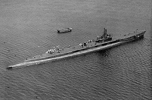
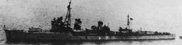
Blackfin, on her second war patrol, torpedoed Shigure while the destroyer was escorting a convoy. Shigure sank. Most of her crew got off.
Sunk in this fight
One ship.
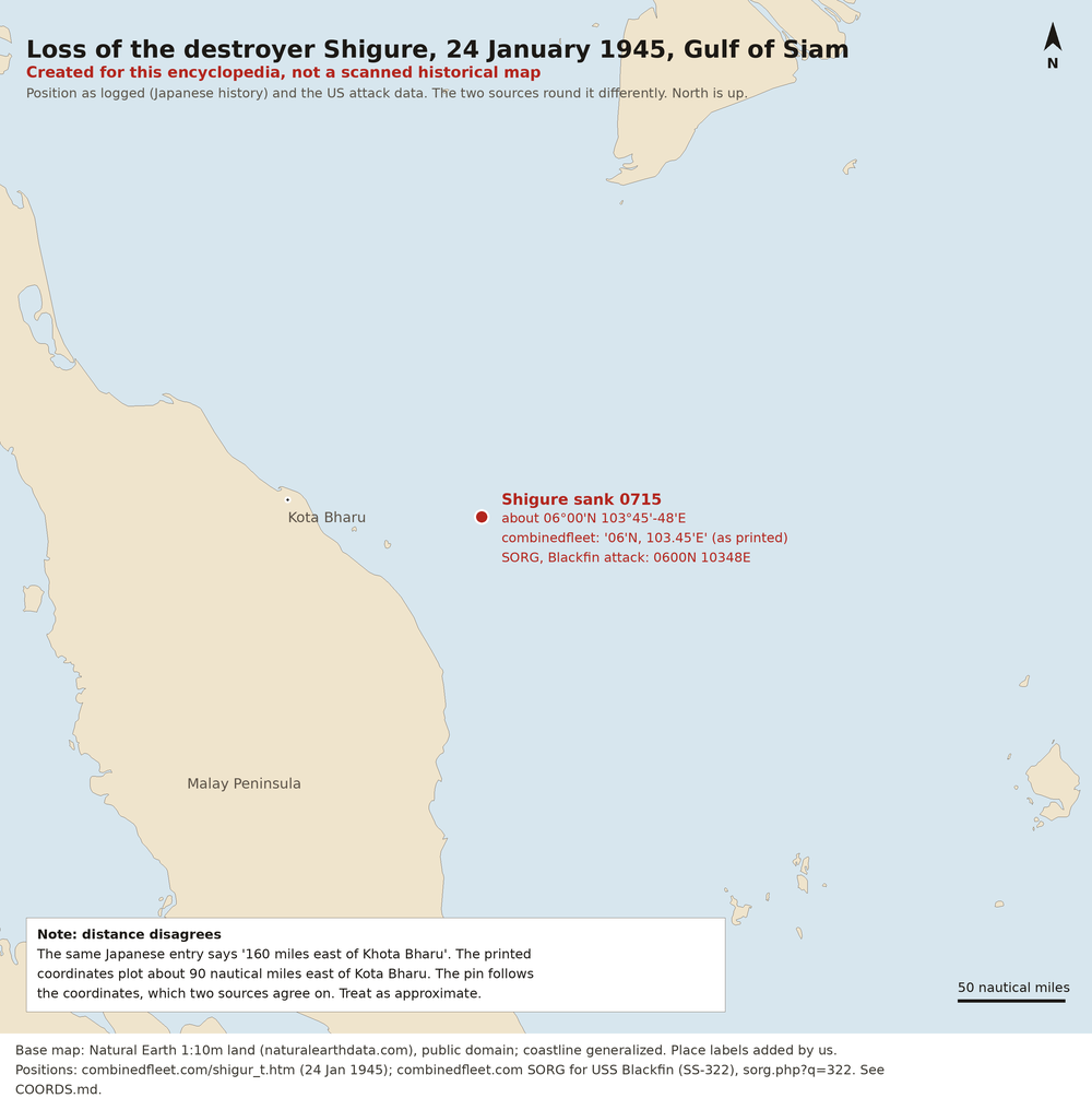
Created for this encyclopedia, not a scanned historical map. Base map: Natural Earth, public domain; the coast is generalized. North is up. Not a surveyed track. The pin is about 06°00' N, 103°45' E to 103°48' E in the Gulf of Siam, where Shigure sank on 24 January 1945 after USS Blackfin's torpedoes. The Japanese ship history prints the longitude as 103.45 and the Blackfin attack data as 10348. The same history says 160 miles east of Kota Bharu, but those coordinates plot about 90 miles east of it. The pin follows the coordinates and is approximate.