1944-10-25
Battle of Surigao Strait
Surigao Strait, Leyte Gulf
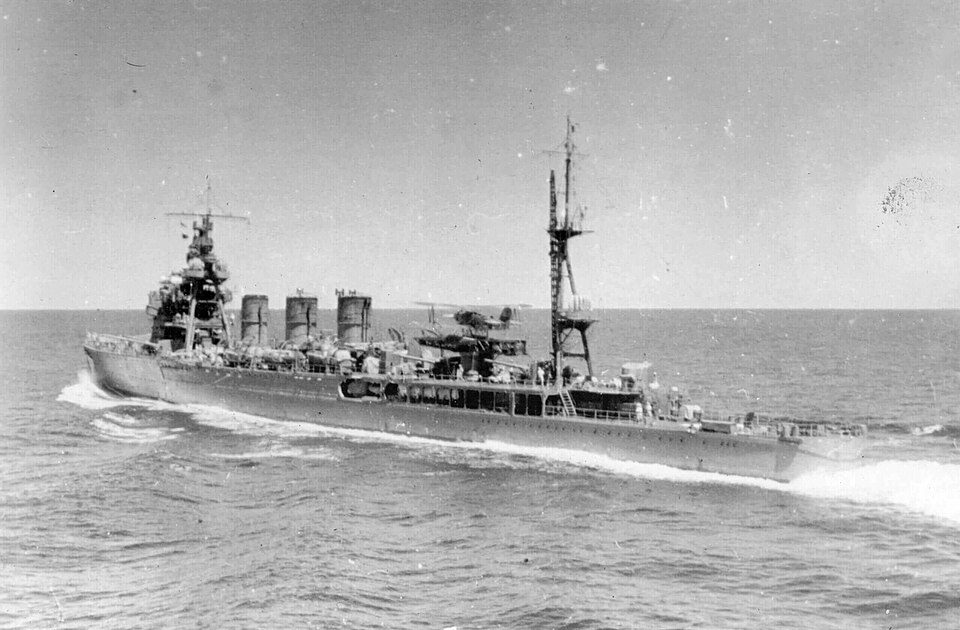
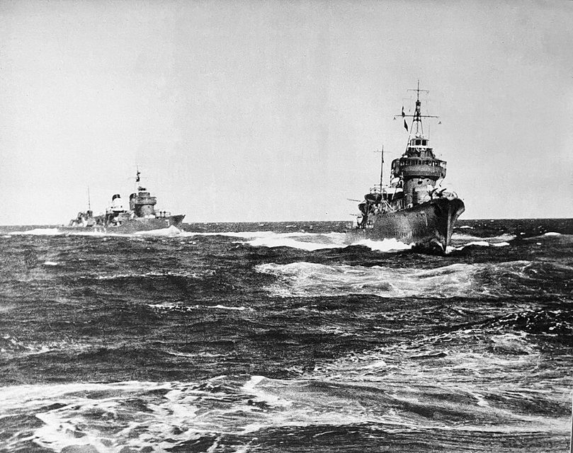
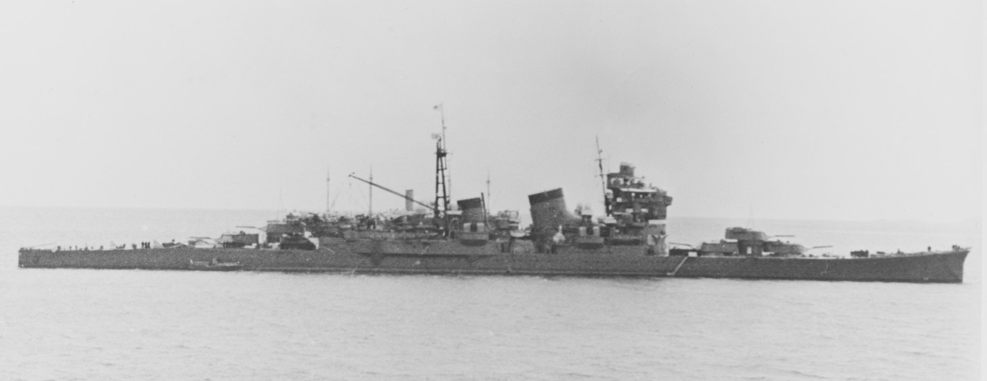
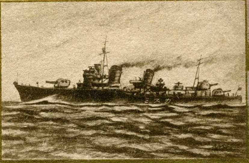
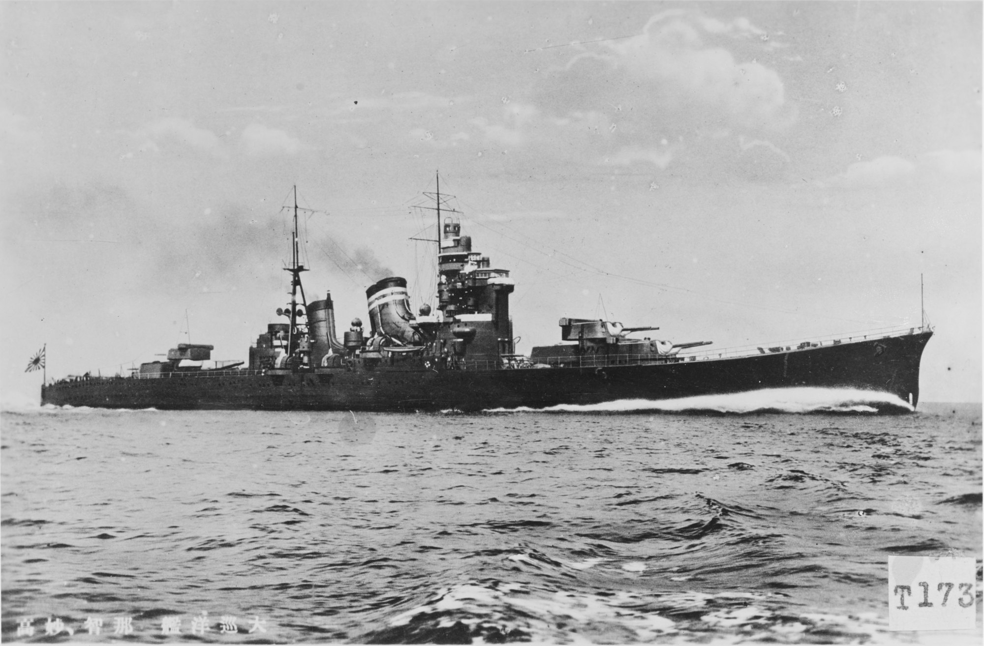
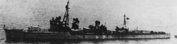
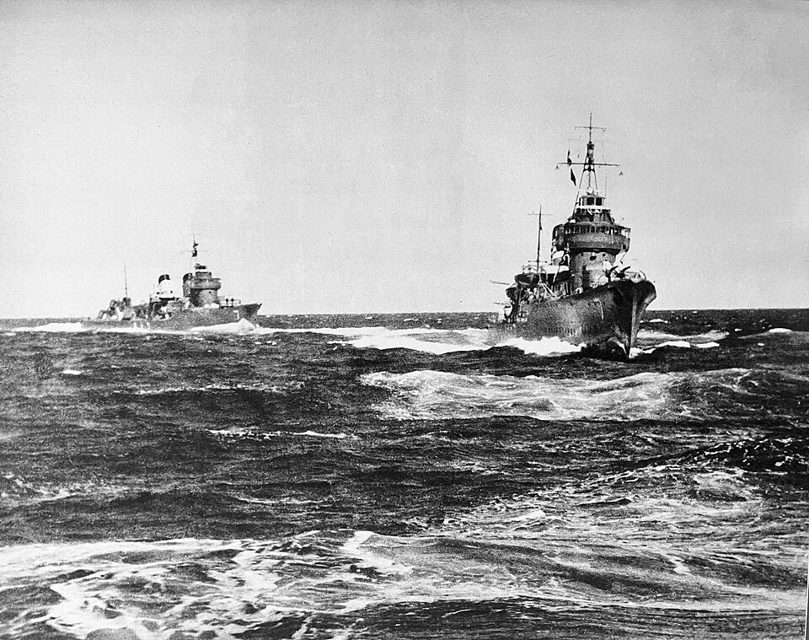
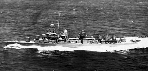
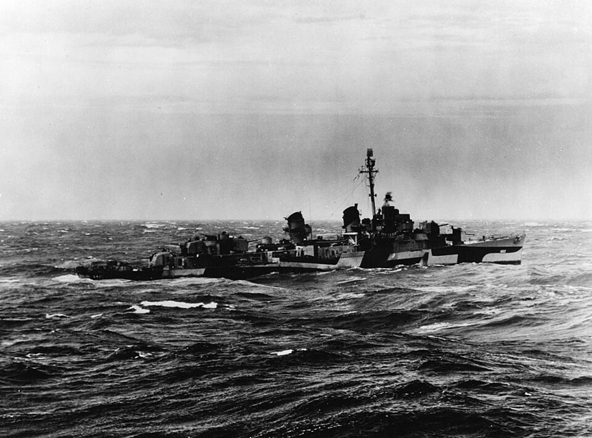
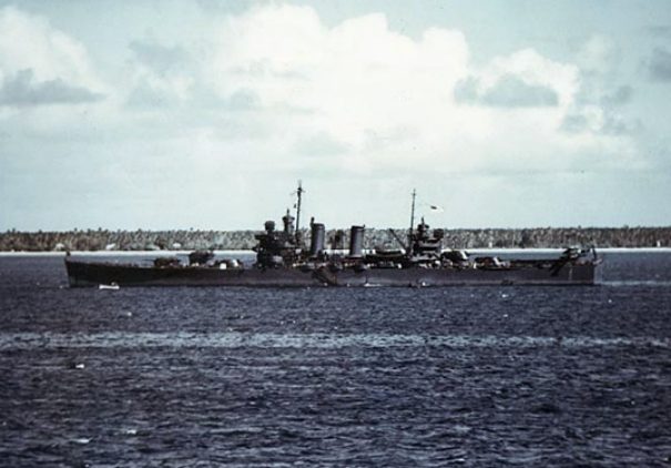
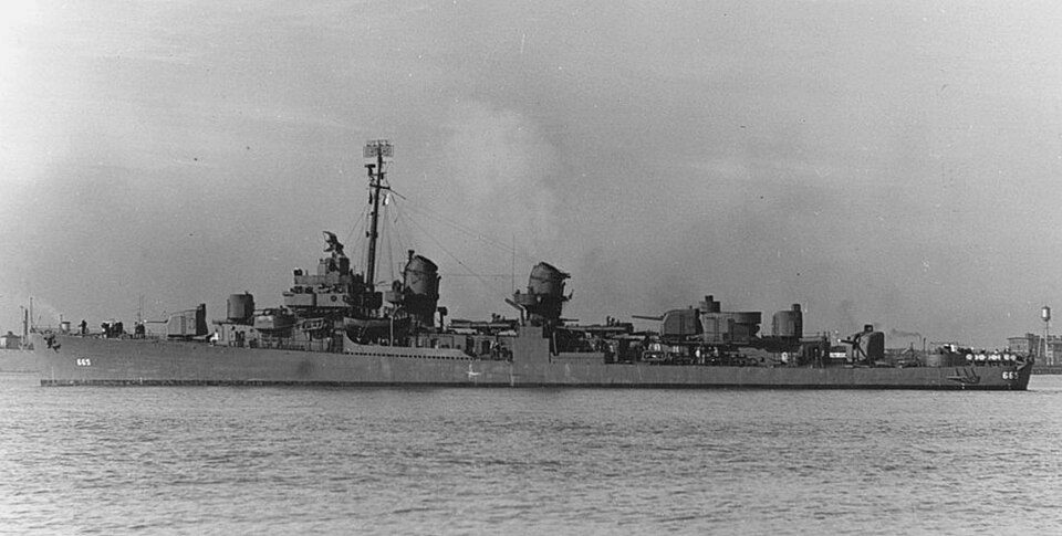
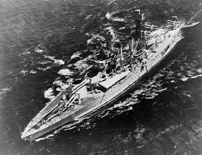
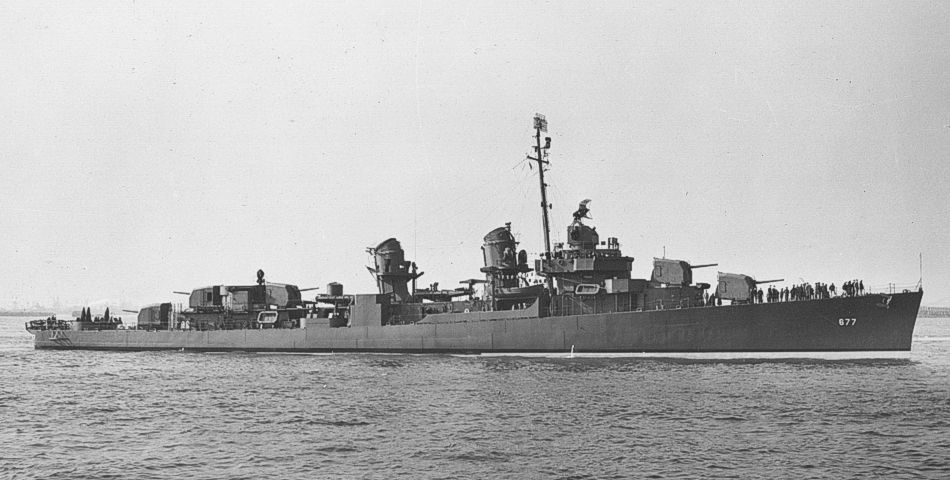
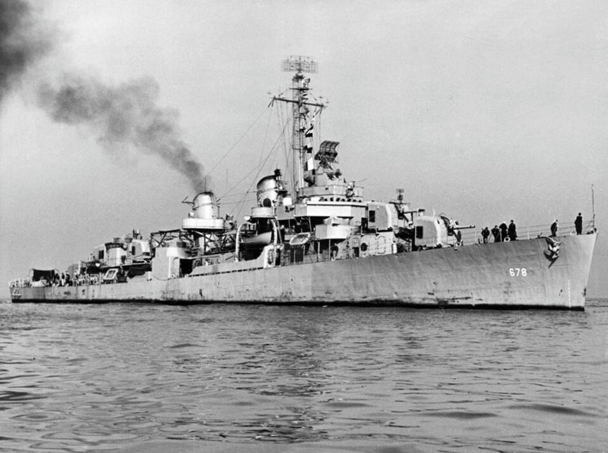
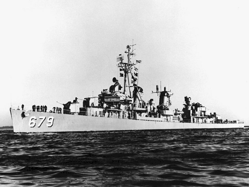
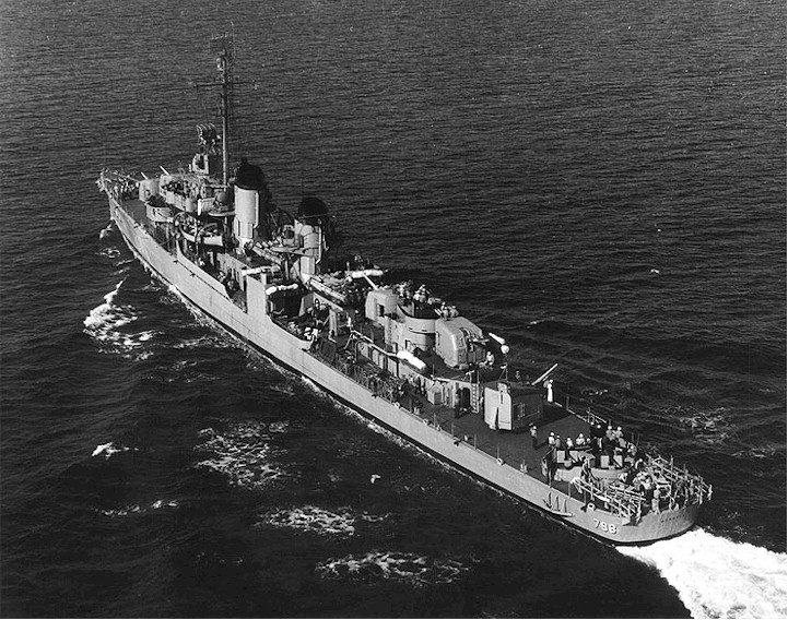
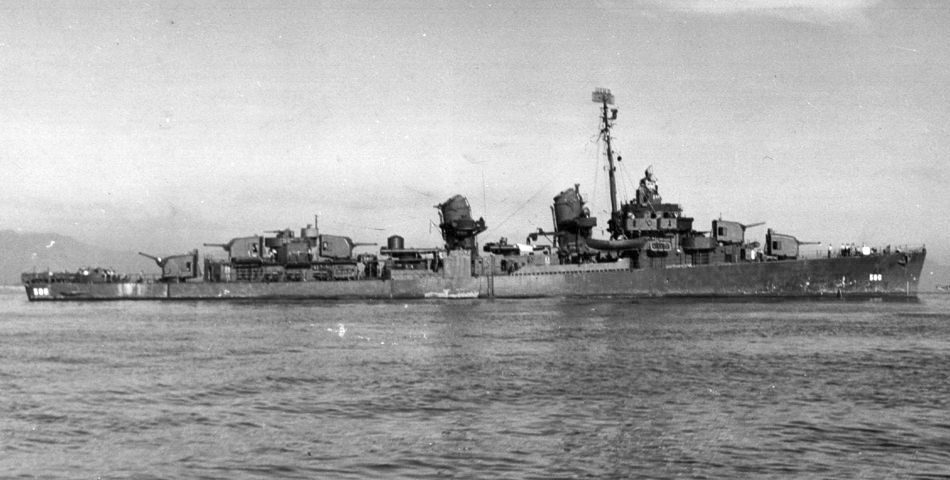
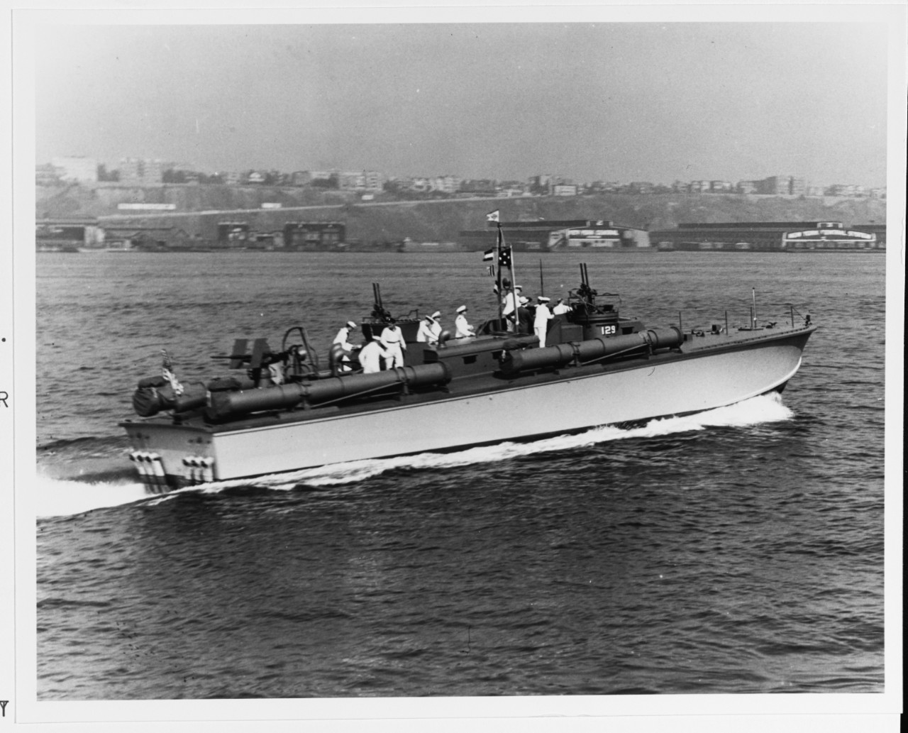
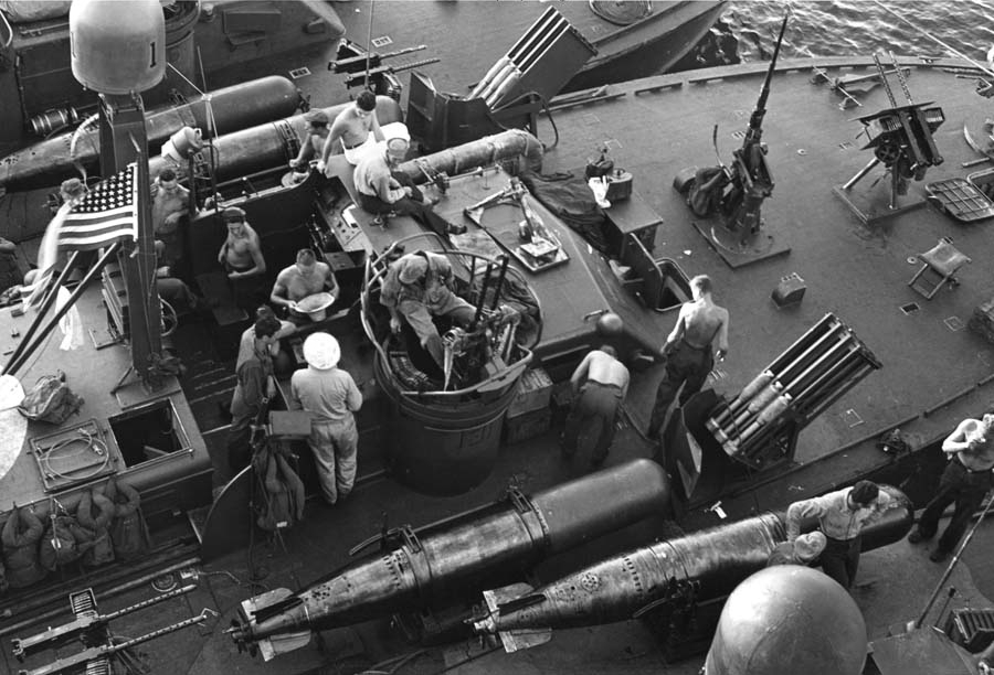
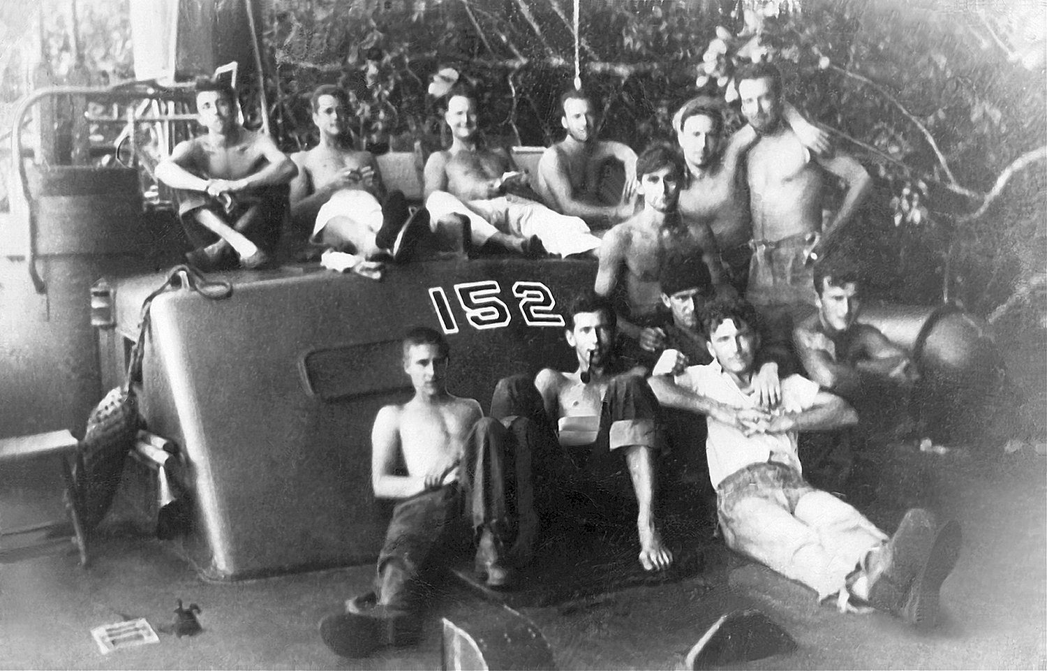
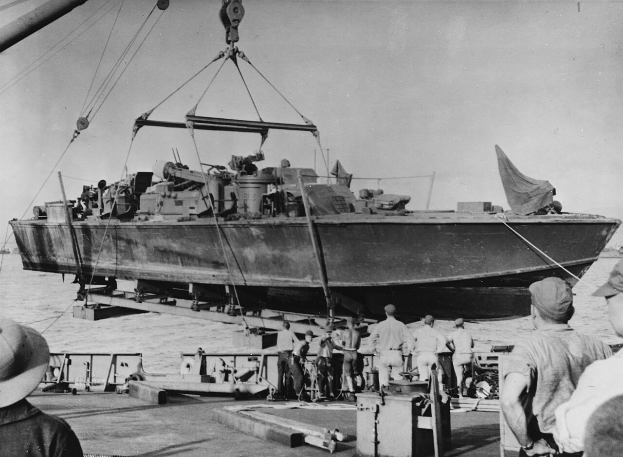
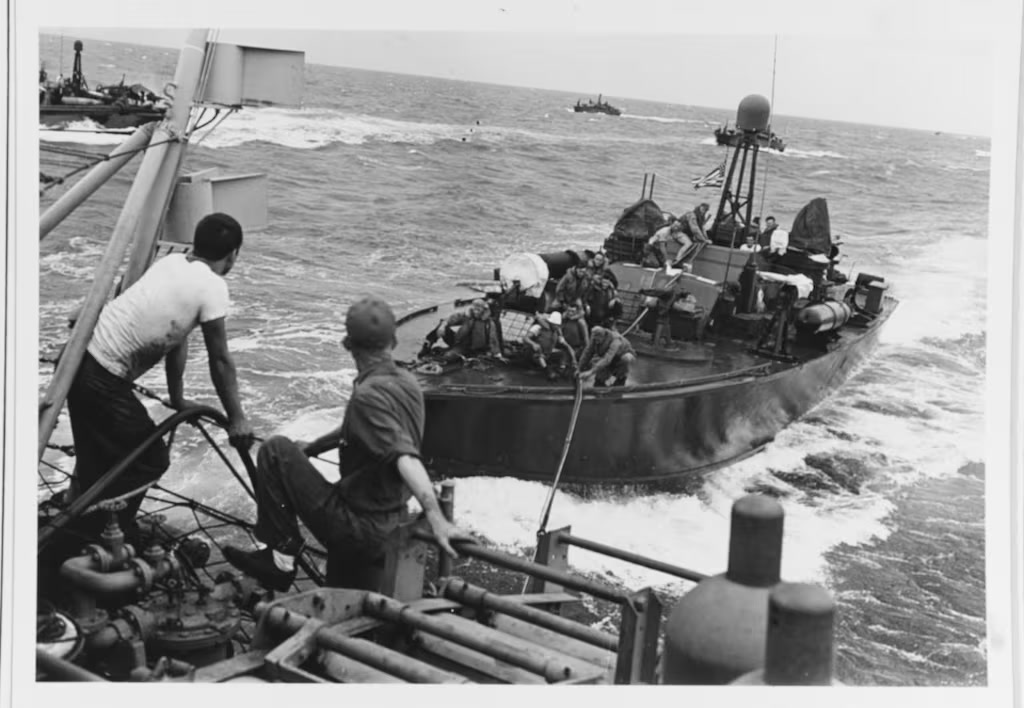
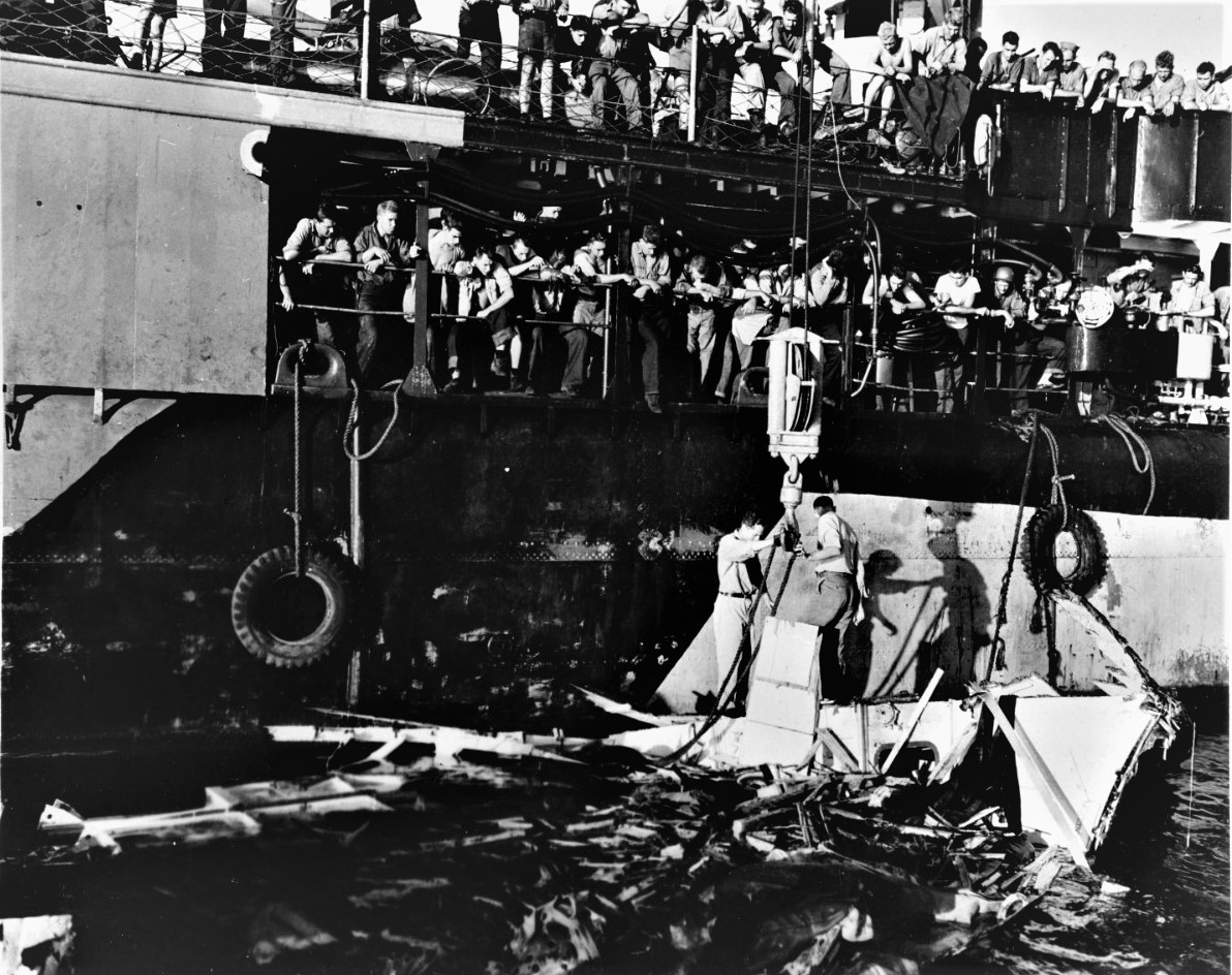
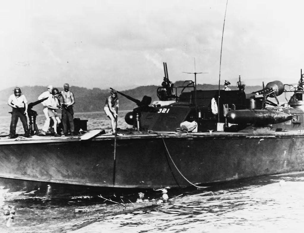
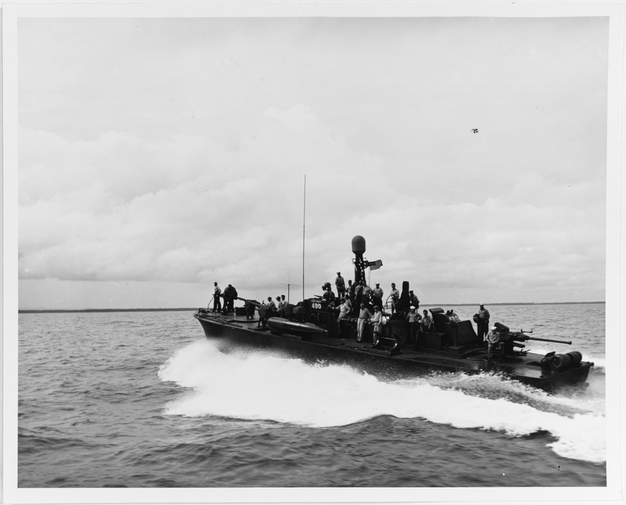
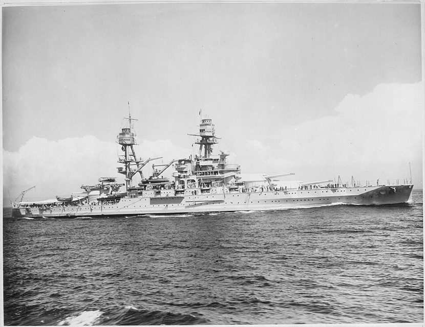
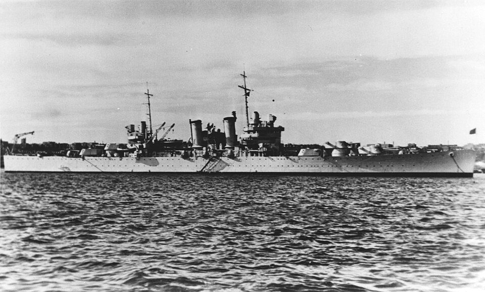
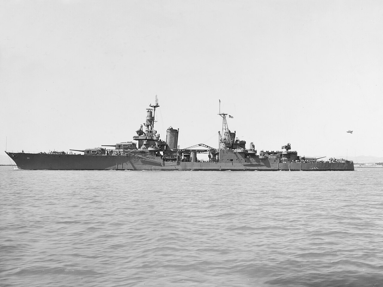
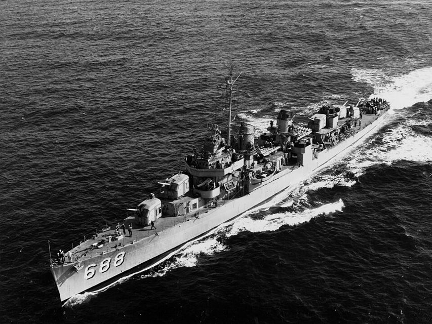
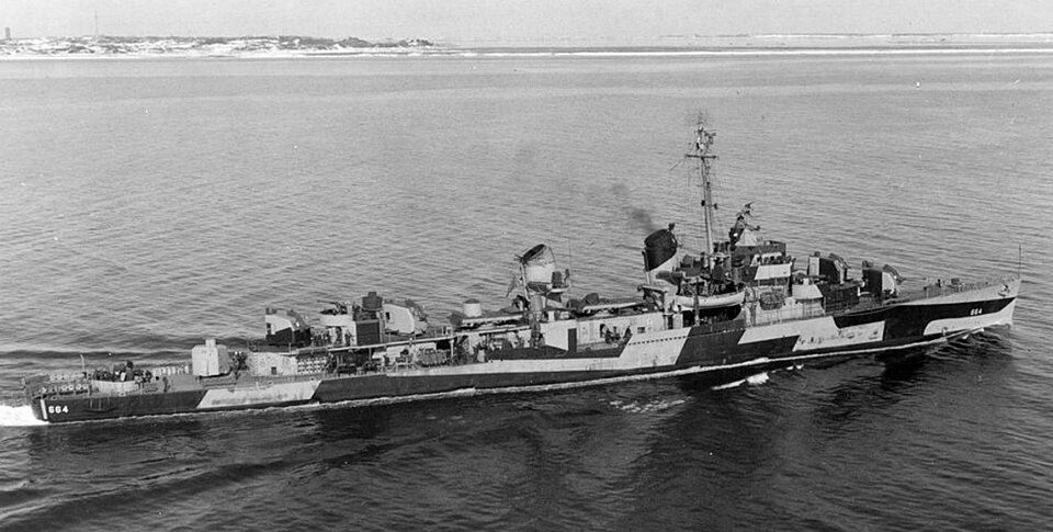
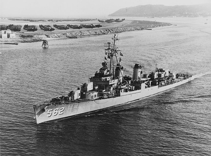
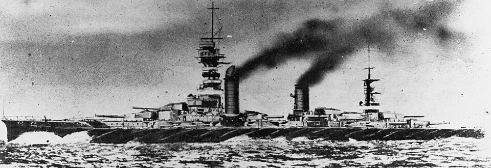
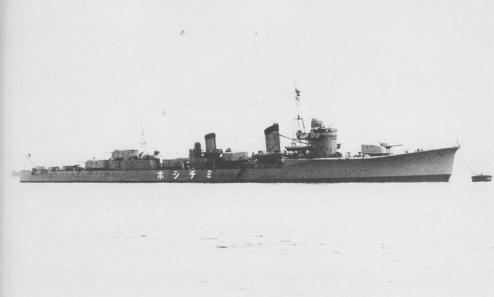
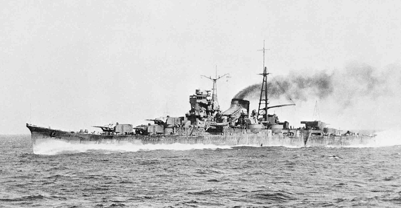
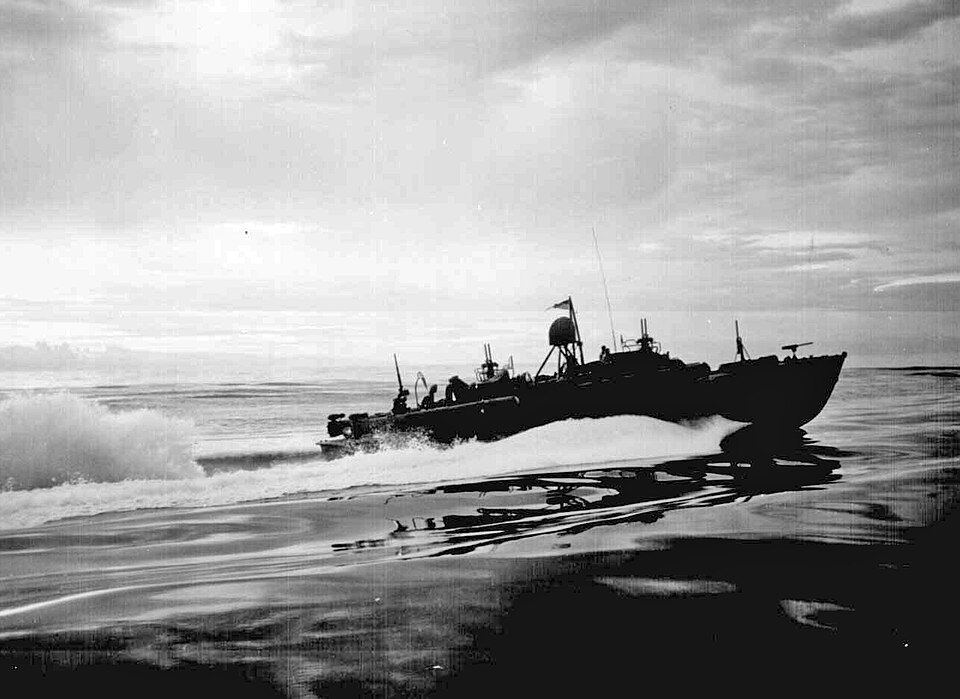
On the night of 24-25 October 1944 Nishimura came up Surigao Strait with Yamashiro, Fuso, Mogami, and the destroyers Michishio, Asagumo, Yamagumo, and Shigure. Shima followed with Nachi, Ashigara, Abukuma, Akebono, Ushio, Kasumi, and Shiranui. Wakaba, of that same force, had been sunk by aircraft off Panay the day before. Hatsuharu and Hatsushimo did not come up the strait. Thirty-nine motor torpedo boats were the first to meet the column. PT-137 torpedoed Abukuma, and she fell out. The boat had aimed at a destroyer. Army bombers sank her the next day off Negros. That sinking is not credited to one ship. American destroyers then attacked from both sides of the strait. The battle line across the northern entrance was Mississippi, Maryland, West Virginia, Tennessee, California, and Pennsylvania. West Virginia opened the battleship fire. Louisville, Oldendorf's flagship, was on the left flank with Portland, Minneapolis, Denver, and Columbia. Phoenix, Boise, and Shropshire were on the right, with Arunta among the destroyers there. The American destroyers and the battle line sank Yamashiro, Fuso, Michishio, Asagumo, and Yamagumo. That fire is not credited to one ship. Shigure took one shell hit and got out. She was the only ship of Nishimura's column still underway when the night ended. Mogami left on fire. Aircraft left her dead in the water. Nachi collided with her, and Shima turned back. Akebono took off about 700 men and sank her with one torpedo. She went down at 1307. Albert W. Grant was hit by gunfire from both sides and was kept afloat. PT-493 was sunk. The ships waiting at the beachhead were not in this fight. The first chart is the approach at about 0300. The Naval War College diagram of the gun action follows it.
Sunk in this fight
7 ships.
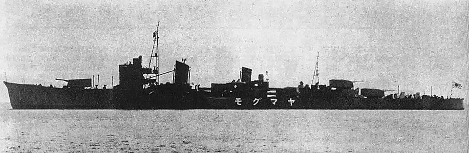
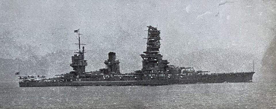
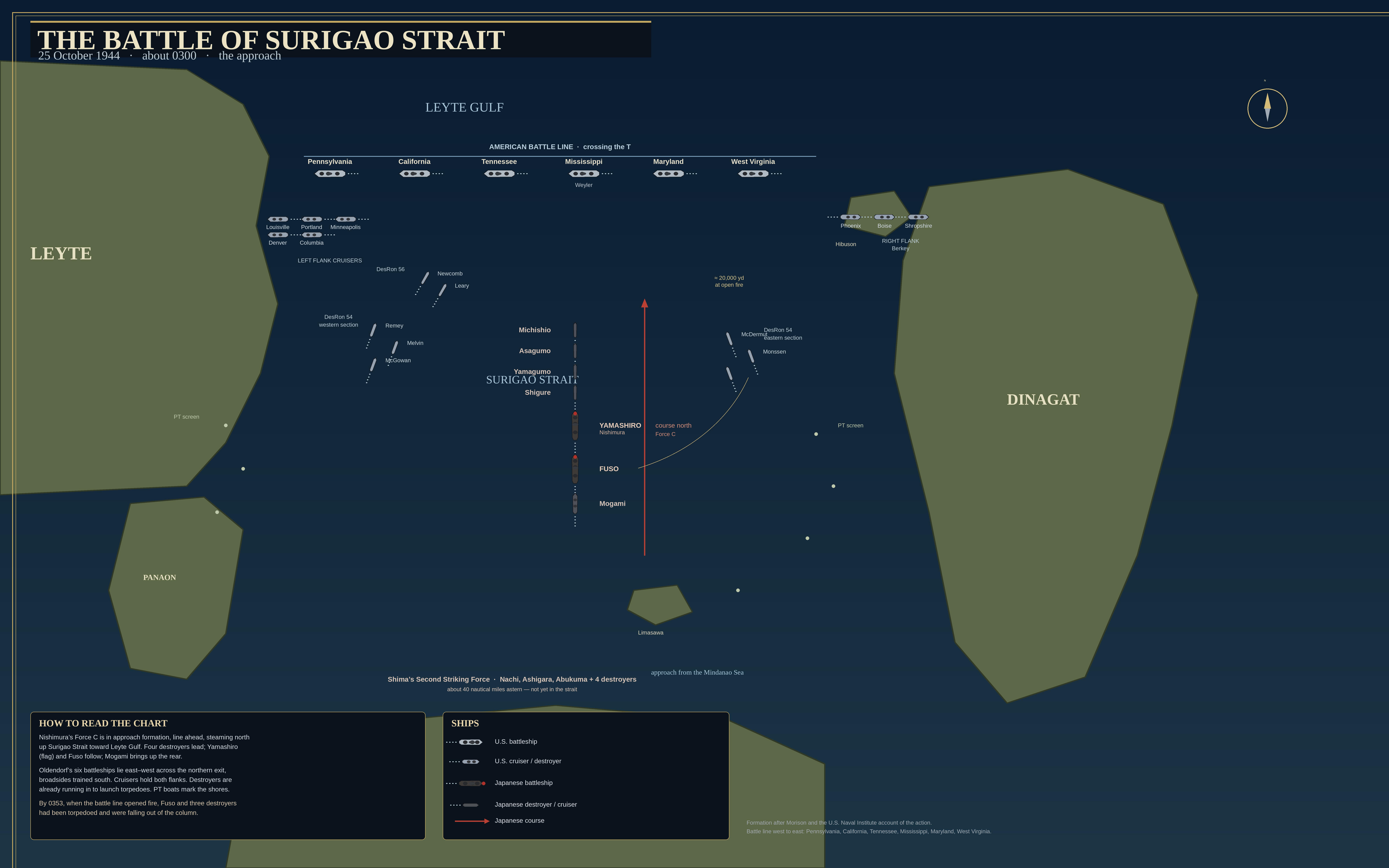
The approach, about 0300 on 25 October 1944. The sheet is titled The Battle of Surigao Strait. North is up. Leyte is to the west and Dinagat to the east. The battle line is drawn west to east: Pennsylvania, California, Tennessee, Mississippi, Maryland, and West Virginia. Louisville, Portland, Minneapolis, Denver, and Columbia are on the left. Phoenix, Boise, and Shropshire are on the right, near Hibuson. Nishimura's column is drawn coming north: Michishio, Asagumo, Yamagumo, Shigure, Yamashiro, Fuso, and Mogami. The sheet notes Shima's force, Nachi, Ashigara, Abukuma, and four destroyers, about 40 miles astern and not yet in the strait. PT boats are marked along both shores. The sheet says the formation follows Morison and the U.S. Naval Institute account of the action. It is a diagram of the approach. The gun-action plot is the chart below. The sinkings are not credited to one ship.
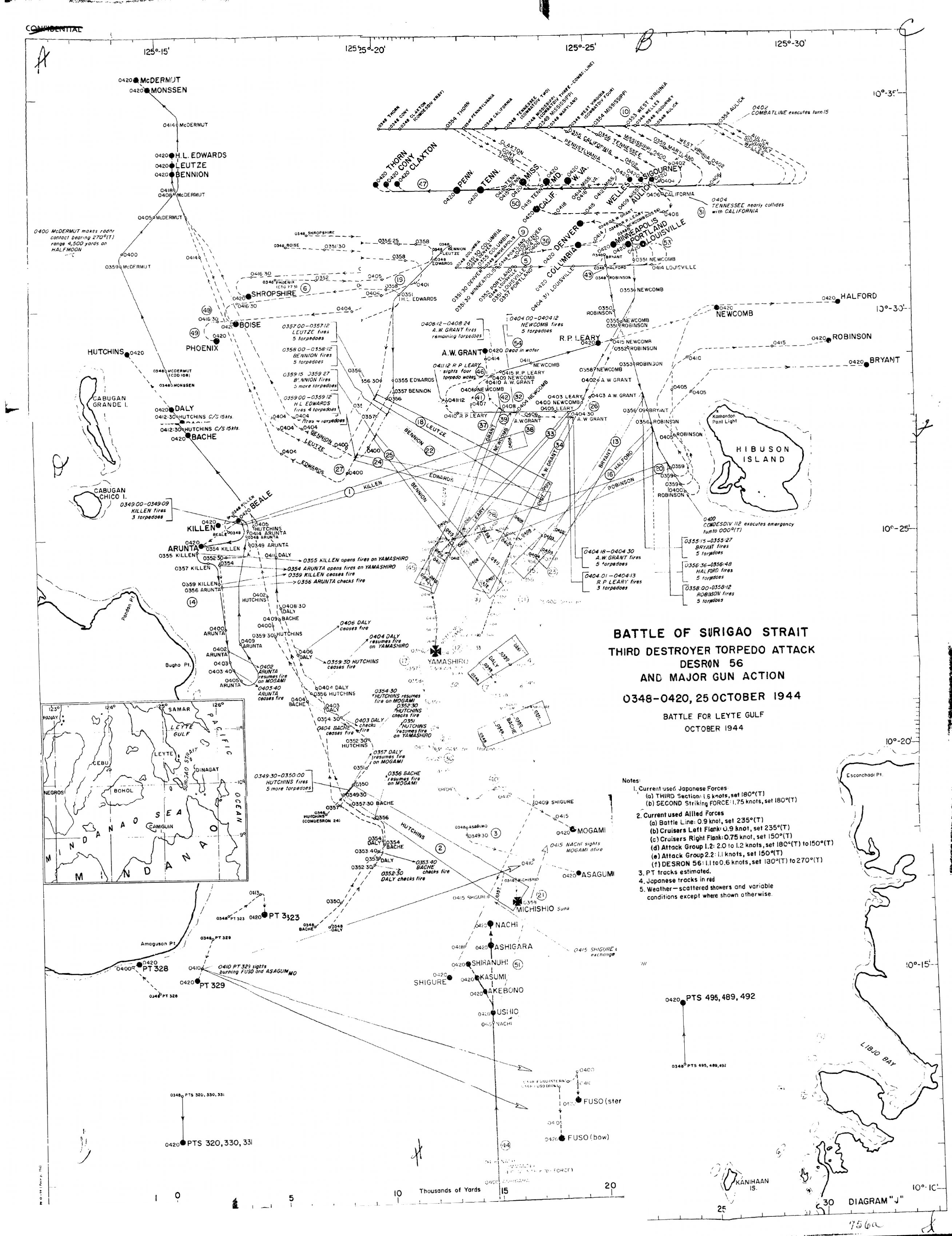
The gun action, Diagram J, from 0348 to 0420 on 25 October 1944. One Naval War College foldout, reassembled from the scanned pieces of that sheet. U.S. Naval War College, The Battle for Leyte Gulf, Volume V, Battle of Surigao Strait, 1958. Public domain. North is up. Longitude runs from 125°15' to 125°30' along the top, and east is to the right. The battle line is across the northern entrance: Thorn, Cony, Claxton, Pennsylvania, Tennessee, California, Mississippi, Maryland, and West Virginia, with the screen. Louisville, Portland, Minneapolis, Denver, and Columbia are just south of the line. Phoenix, Boise, and Shropshire are drawn near Cabugan Grande, on the western side of this sheet. Destroyers to the west, toward Leyte, include McDermut, Monssen, Heywood L. Edwards, Leutze, Bennion, Hutchins, Daly, Bache, Killen, Beale, and Arunta. Destroyers to the east, toward Hibuson, include Newcomb, Richard P. Leary, Robinson, Halford, and Bryant. Albert W. Grant is marked dead in the water at 0420. She was kept afloat. The gunfire that hit her is not credited to one ship. Yamashiro is in the middle of the strait. Farther south are Mogami, Michishio, Asagumo, Shigure, Nachi, Ashigara, Shiranui, Kasumi, Akebono, Ushio, and Fuso, which the sheet draws in two parts. The sheet marks Michishio sunk. PT 323, PT 328, PT 329, PT 320, PT 330, and PT 331 are to the southwest. PT 495, PT 489, and PT 492 are to the southeast. The small map in the corner is the sheet's own locator. The notes say the PT tracks are estimated, and that the Japanese tracks were printed in red. This scan is black and white. The joins are where the scanned pieces meet. The old Confidential stamp is the 1958 marking. Distribution of the volume is unlimited. The sheet plots tracks and firing notes. The sinkings are not credited to one ship.