1943-03-26
Battle of the Komandorski Islands
South of the Komandorski Islands, about 180 miles west of Attu
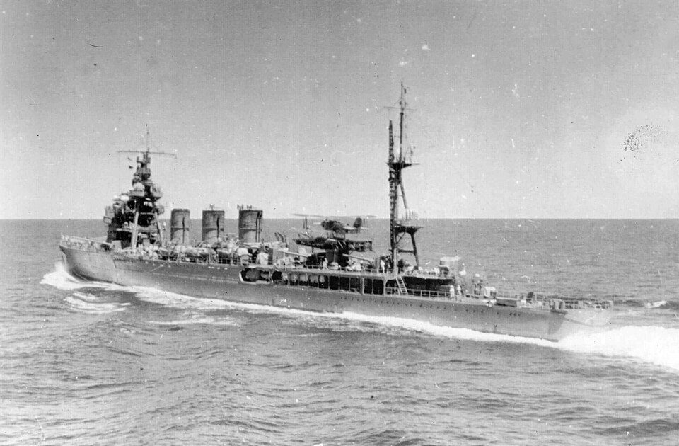
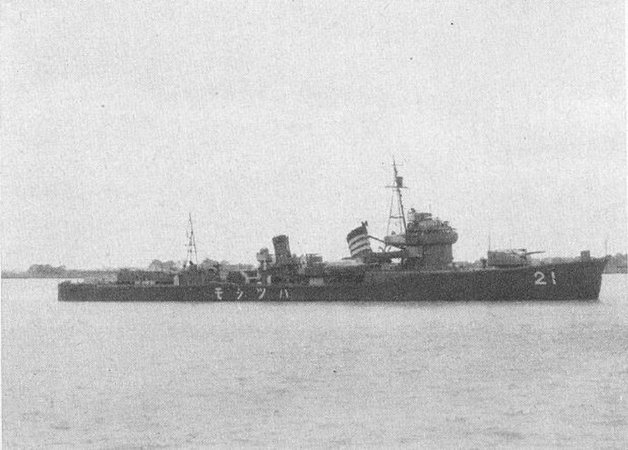
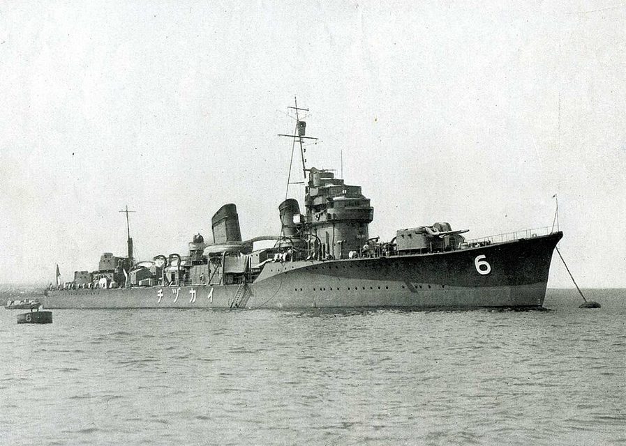
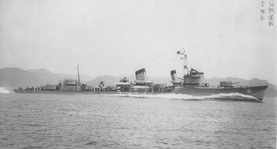
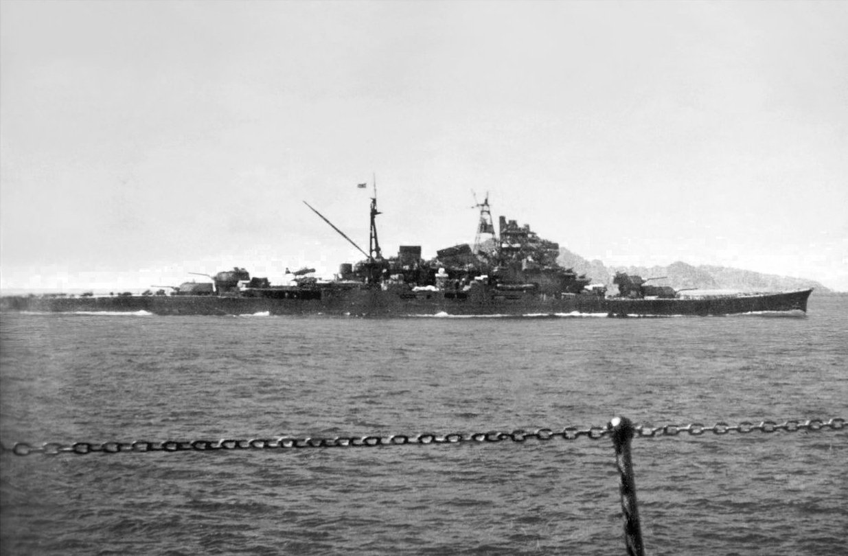
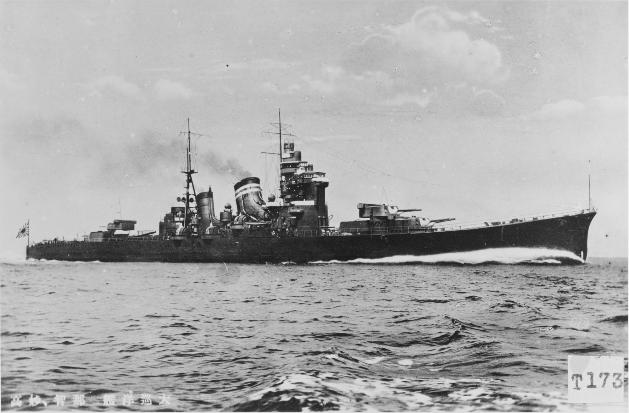
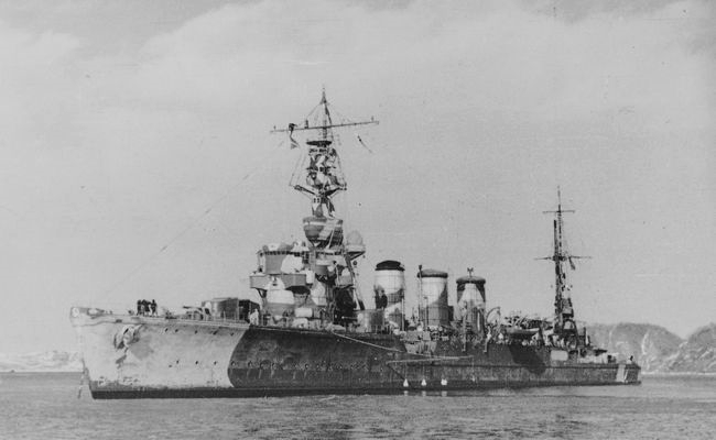
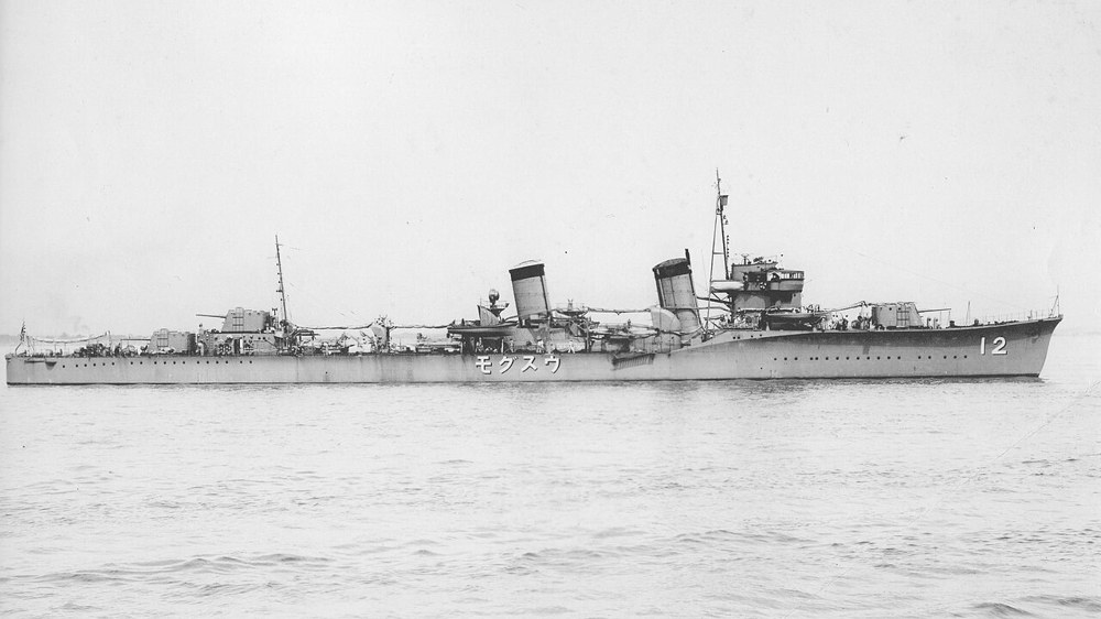
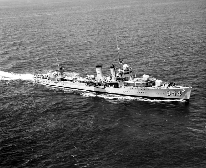
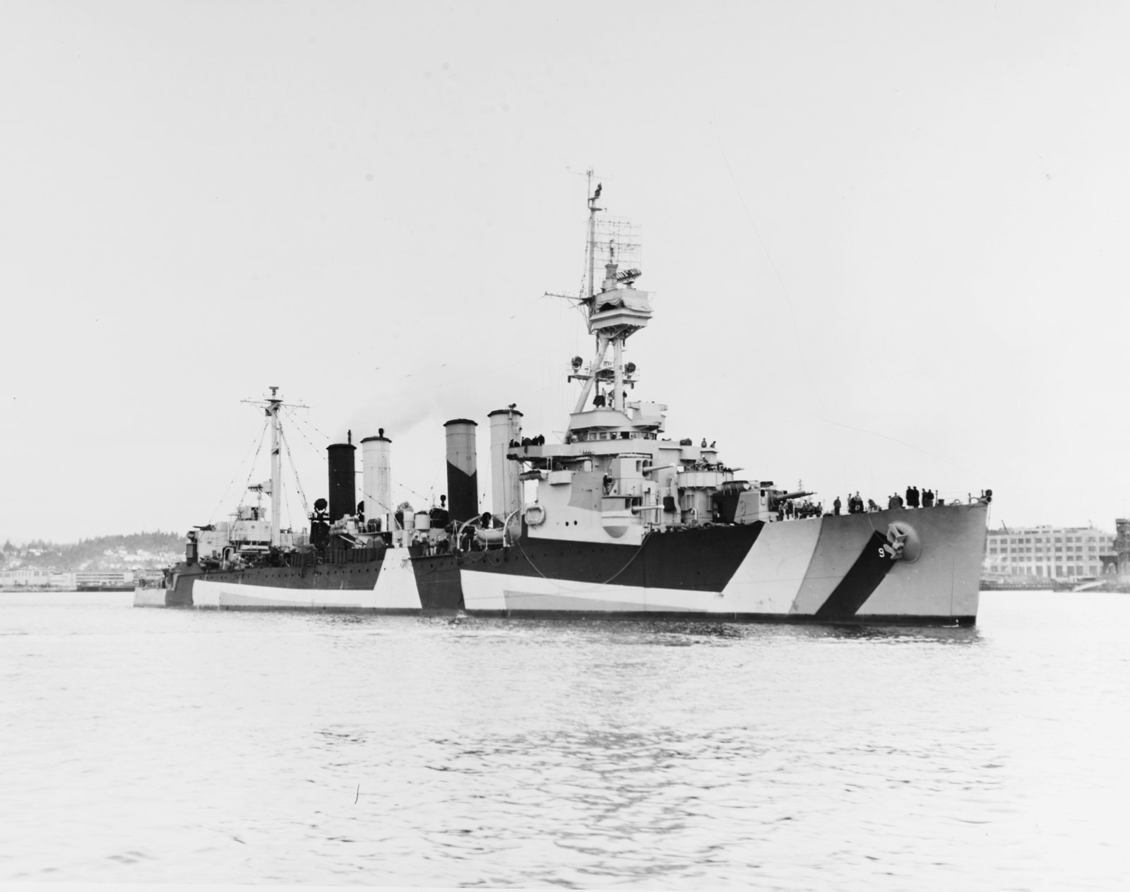
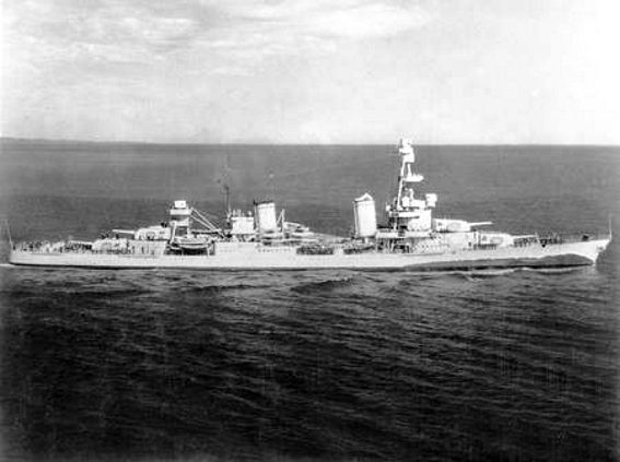
Rear Admiral Charles H. McMorris, in Richmond, had Salt Lake City and four destroyers. He was looking for a convoy and met Vice Admiral Boshiro Hosogaya's whole Fifth Fleet: Nachi, Maya, Tama, Abukuma, and four destroyers in the gun line. Usugumo stayed with the transports. The fight ran for about three and a half hours in daylight, with no aircraft and no submarines. Salt Lake City was hit and lost power. Bailey led the destroyers in. Her torpedoes missed, and two shells hit her. One shell hit Coghlan and killed no one. Nachi took several shells. No ship on either side was sunk. Hosogaya turned away. The transports Asaka Maru and Sakito Maru did not reach Attu. The charts are the 1945 Office of Naval Intelligence sheets, moved here from the Aleutians page.
Sunk in this fight
No ship in the catalog was sunk in this fight.
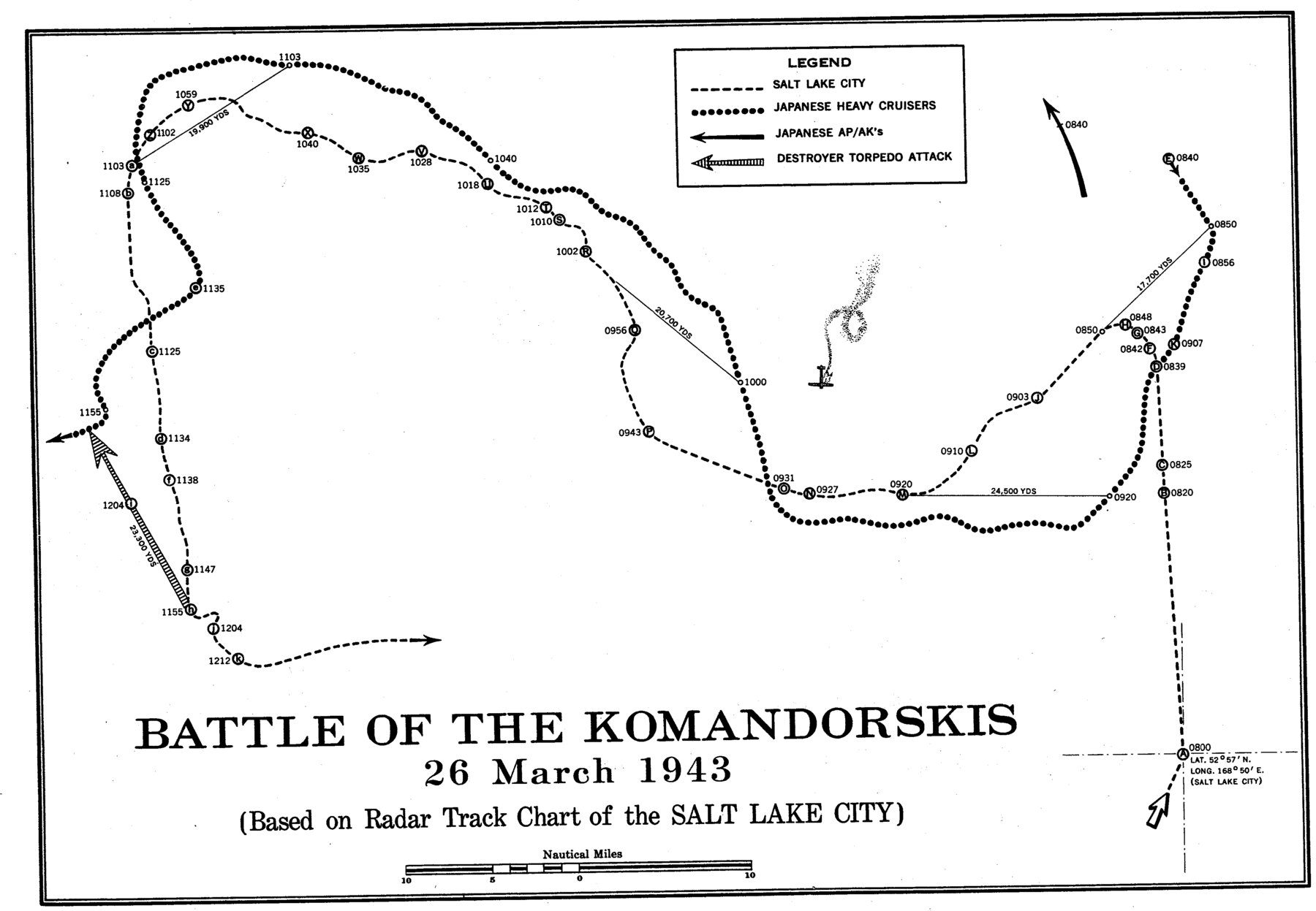
Track chart of the Battle of the Komandorskis, 26 March 1943, from the radar track chart of Salt Lake City. Office of Naval Intelligence, The Aleutians Campaign, 1945. Public domain. The dashed line is Salt Lake City. The sheet prints her at 0800 at 52°57'N, 168°50'E. The dotted line is Japanese heavy cruisers. The sheet does not name them. The open arrows are Japanese AP and AK tracks. The hatched arrow is a destroyer torpedo attack. The sheet does not name that destroyer. The times on the tracks are the sheet's.
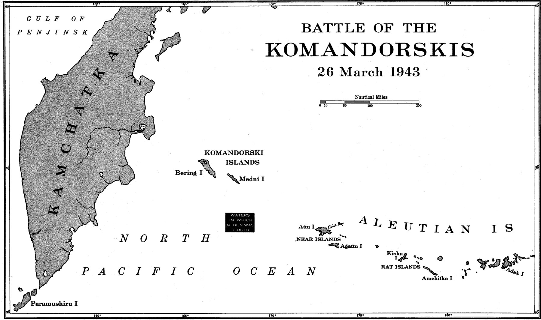
Battle of the Komandorskis, 26 March 1943, the waters in which the action was fought. Office of Naval Intelligence, The Aleutians Campaign, 1945. Public domain. North is up. Kamchatka is to the west. The Komandorski Islands, Bering and Medni, are in the middle. Attu, Agattu, Kiska, Amchitka, and Adak are to the east. The box marks the waters of the action. This sheet does not draw the tracks.