1942-06-03
Aleutian Islands
Dutch Harbor, Attu, and Kiska
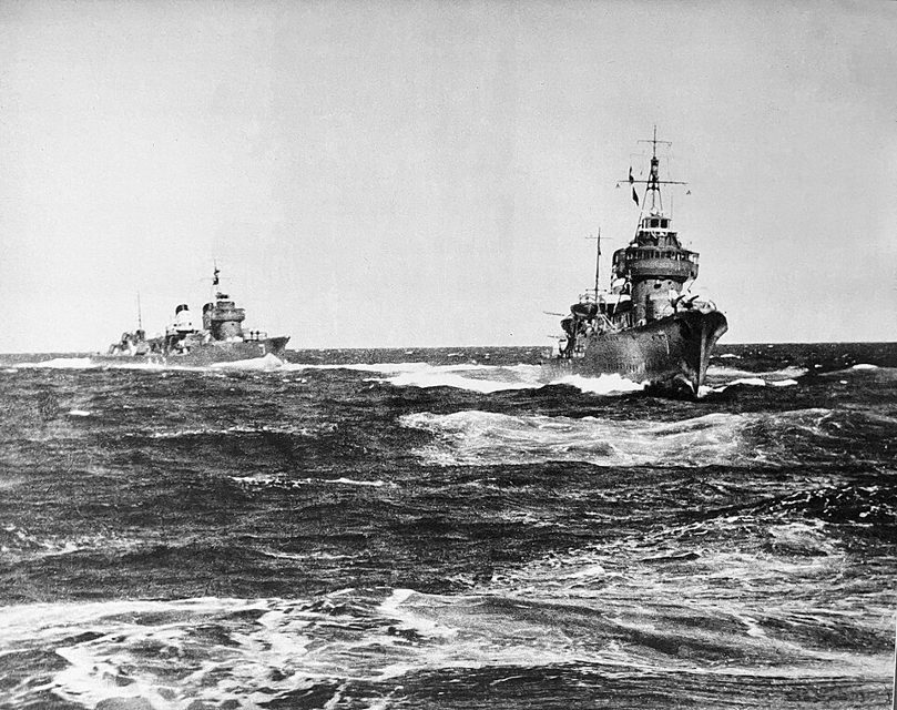
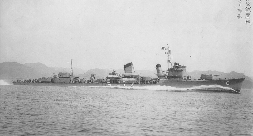
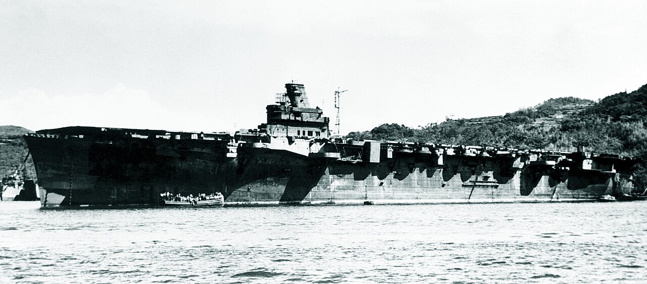
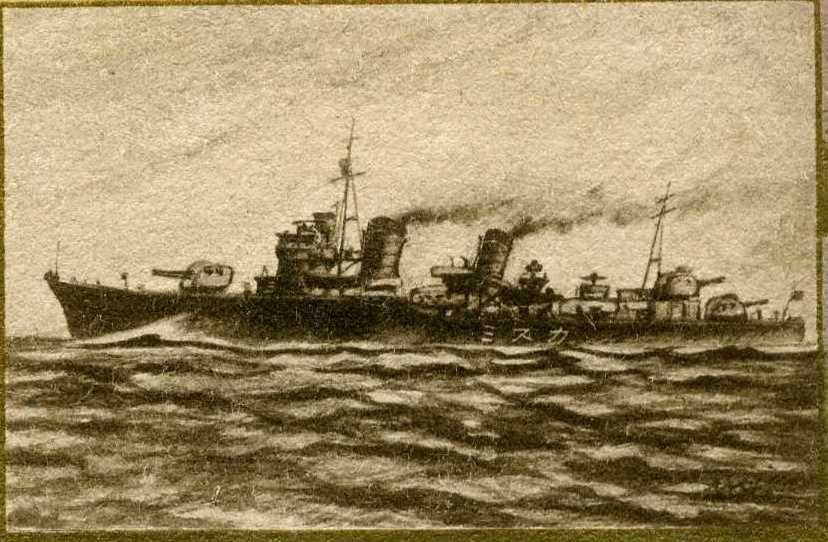
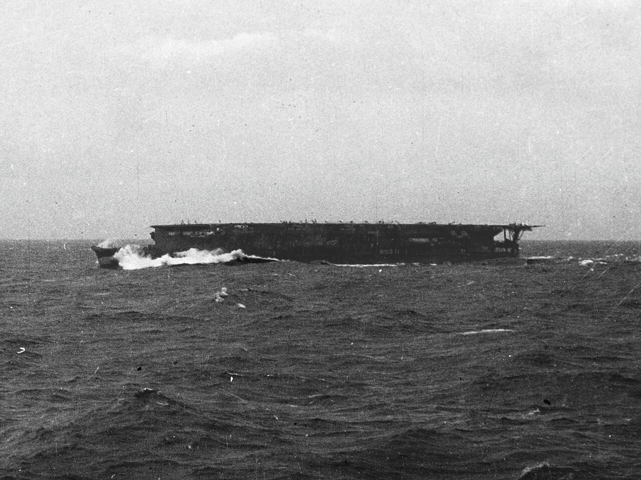
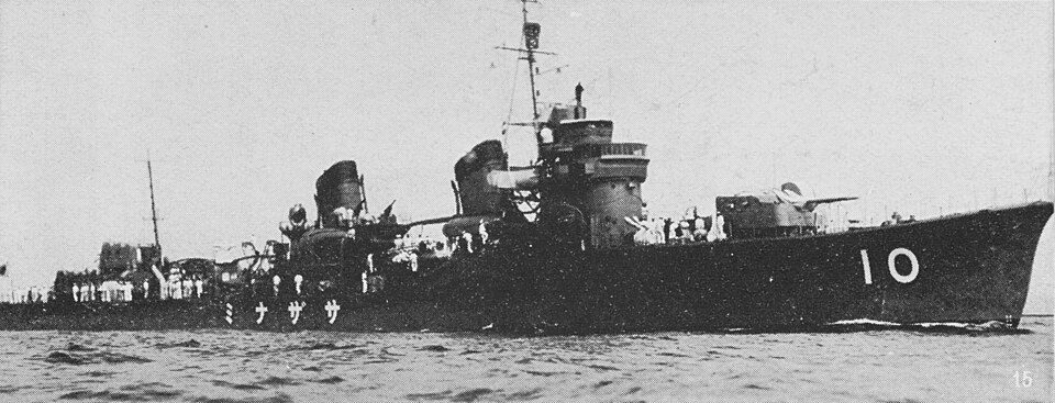
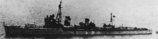
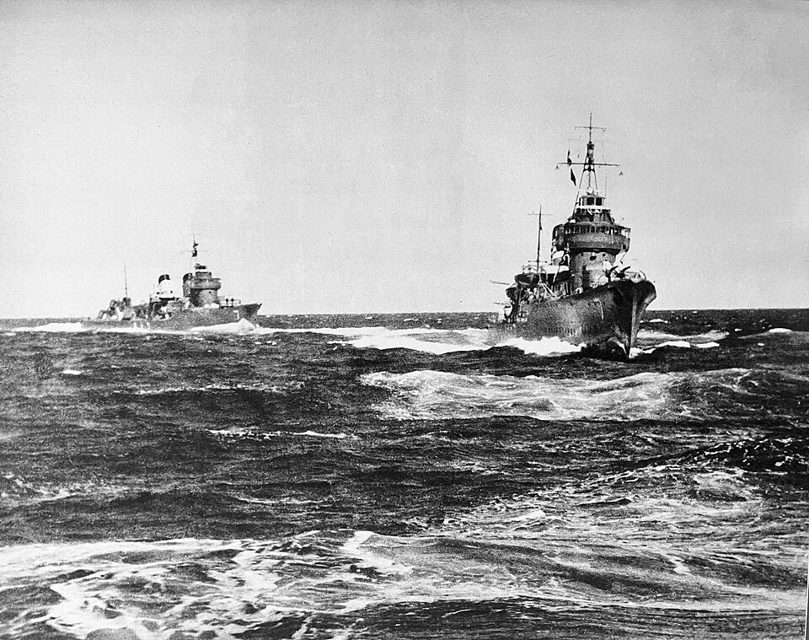
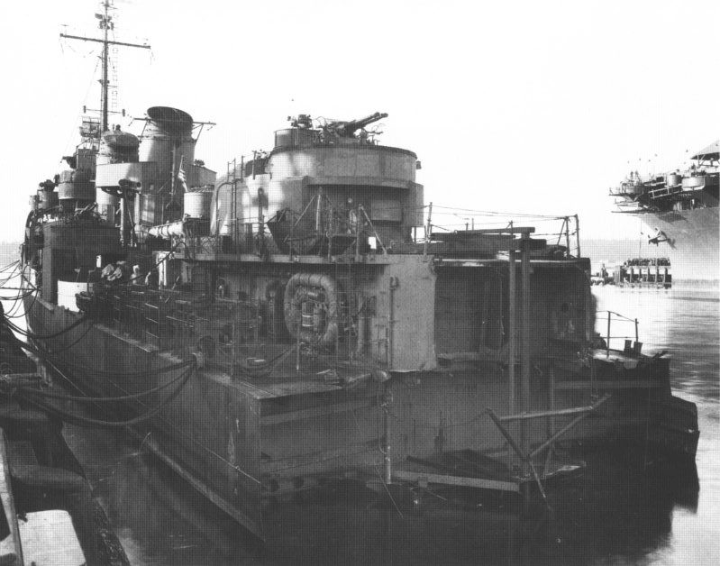
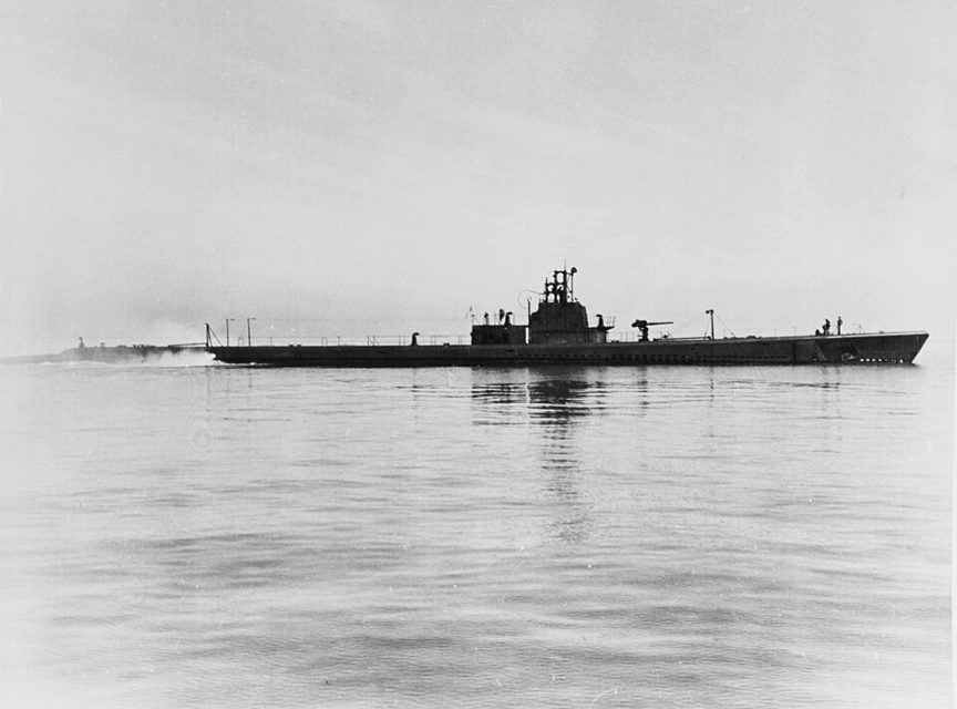
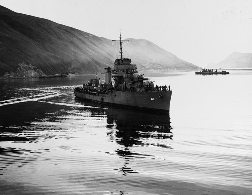
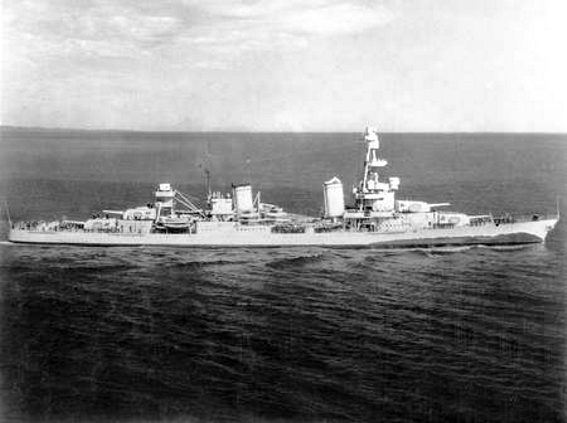
The campaign opened with the raid on Dutch Harbor on 3 and 4 June 1942, the Aleutian side of Midway, not the carrier fight. Junyo was one of Admiral Kakuta's carriers, with the carrier Ryujo. Ushio and Sazanami were with that force. Akebono escorted it. Shigure was with the Aleutians guard force and did not fight the carrier battle. Japanese troops occupied Kiska and Attu in the days after the raid. On 4 July, at 1240, one torpedo from the submarine Triton sank Nenohi southeast of Attu, near Agattu. Triton had fired two. Inazuma took off survivors on 6 July. On 5 July Growler sank Arare in Kiska harbor and torpedoed Kasumi outside the harbor. Kasumi was repaired. St. Louis worked the Aleutians in 1942, including the bombardment of Kiska. That bombardment is not credited to her alone. Reid was at Dutch Harbor on 6 September 1942. On 12 January 1943 Worden grounded at Constantine Harbor, Amchitka, and was lost. The garrison left Kiska under fog on 28 July 1943. The landing on 15 August found the island empty. Abner Read had shelled Attu on 11 and 16 May, and she shelled Kiska on 22 July and from 12 to 15 August. At 0150 on 18 August a mine blew her stern off while she patrolled off the island. Seventy men were killed or missing and forty-seven were wounded. Ute towed her to Adak. The maps are the 1945 Office of Naval Intelligence sheets: the theater, the Komandorski tracks, and the landings on Attu and Kiska.
Sunk in this fight
2 ships.
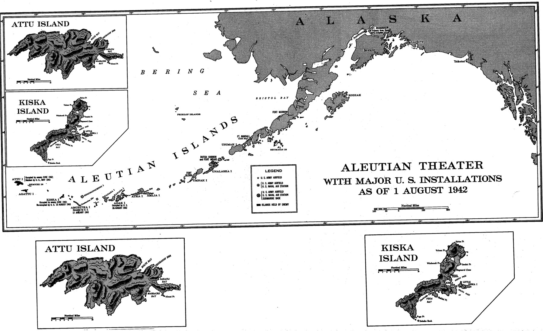
Aleutian Theater with major U.S. installations as of 1 August 1942. Office of Naval Intelligence, The Aleutians Campaign, 1945. Public domain. North is up. Dutch Harbor and Fort Mears are marked on Unalaska. The sheet prints Attu occupied by the enemy in June 1942 and retaken in May 1943, Kiska occupied in June 1942 and re-occupied on 15 August 1943, Adak occupied on 30 August 1942, and Amchitka, including Constantine Harbor, occupied on 12 January 1943. The title date is 1 August 1942. Those later notes are on the same sheet. It does not draw the Dutch Harbor raid or the tracks of the ships. The lower drawings are Attu and Kiska from this plate. The landing charts are the later sheets.
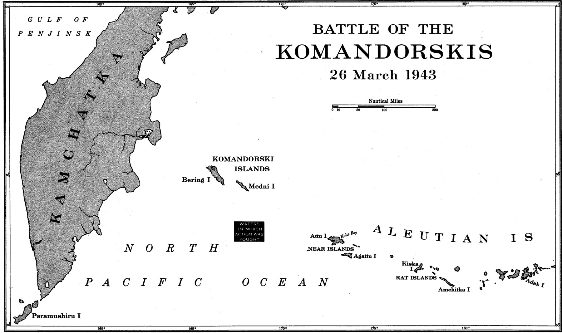
Battle of the Komandorskis, 26 March 1943, the waters in which the action was fought. Office of Naval Intelligence, The Aleutians Campaign, 1945. Public domain. North is up. Kamchatka is to the west. The Komandorski Islands, Bering and Medni, are in the middle. Attu, Agattu, Kiska, Amchitka, and Adak are to the east. The box marks the waters of the action. This sheet does not draw the tracks.
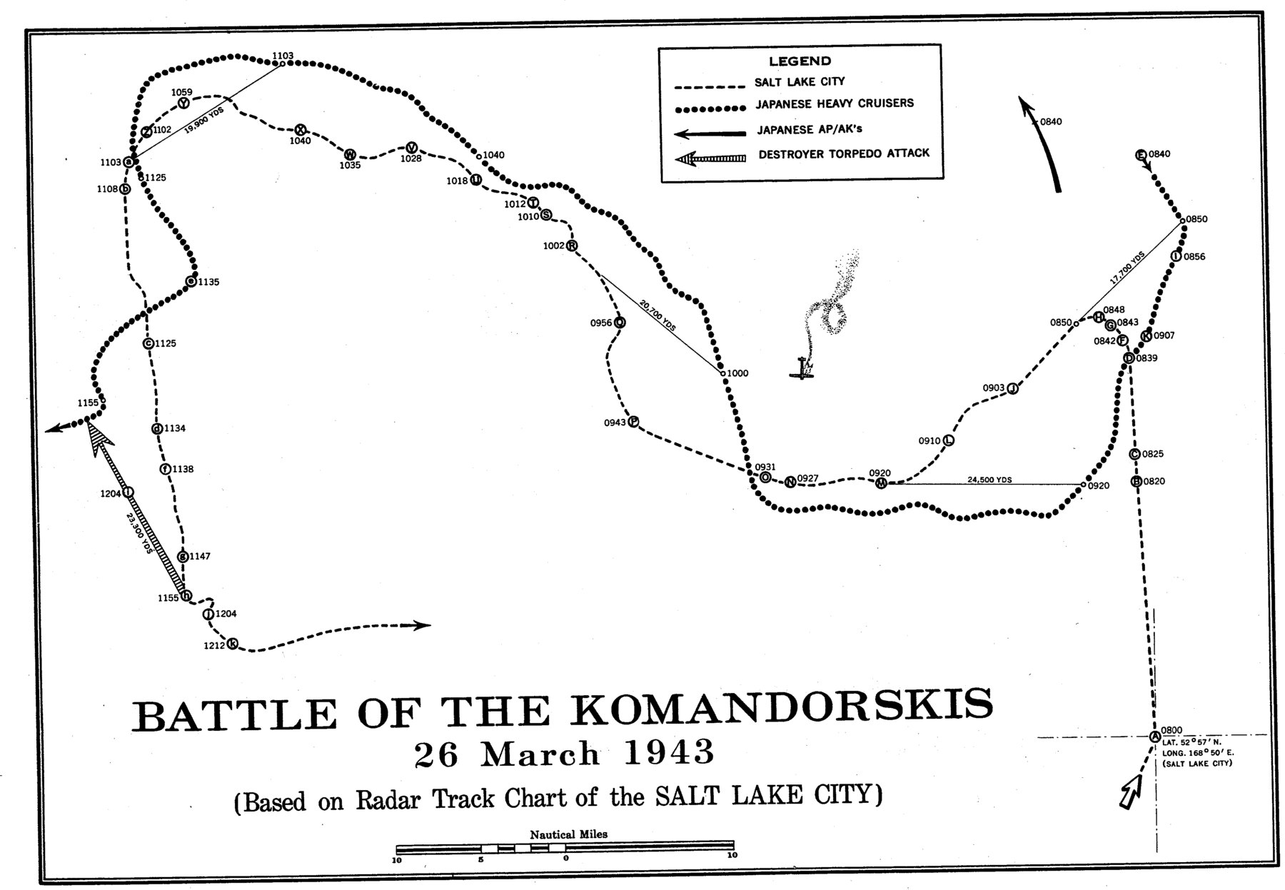
Track chart of the Battle of the Komandorskis, 26 March 1943, from the radar track chart of Salt Lake City. Office of Naval Intelligence, The Aleutians Campaign, 1945. Public domain. The dashed line is Salt Lake City. The sheet prints her at 0800 at 52°57'N, 168°50'E. The dotted line is Japanese heavy cruisers. The sheet does not name them. The open arrows are Japanese AP and AK tracks. The hatched arrow is a destroyer torpedo attack. The sheet does not name that destroyer. The times on the tracks are the sheet's.
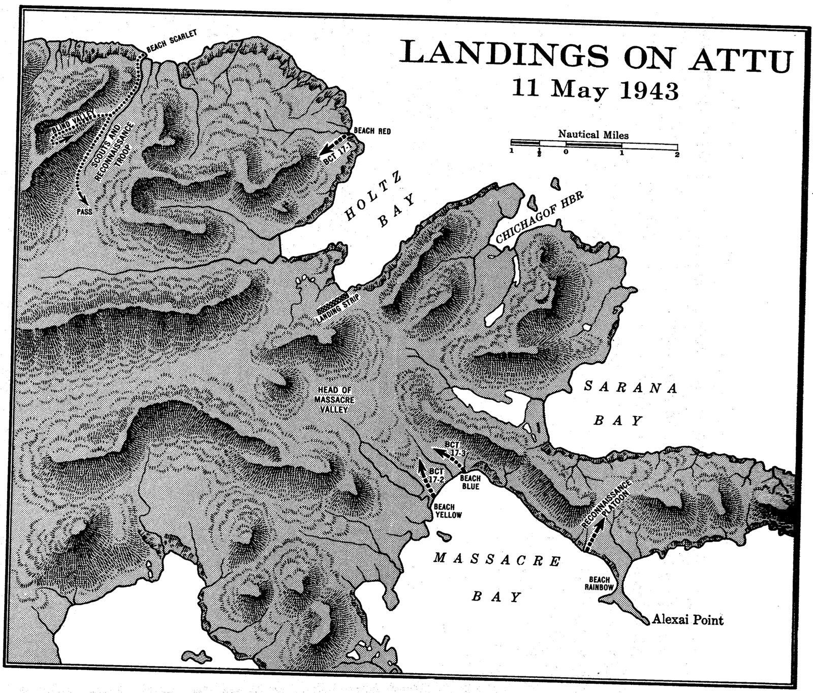
Landings on Attu, 11 May 1943. Office of Naval Intelligence, The Aleutians Campaign, 1945. Public domain. North is up. Beach Scarlet and Beach Red are on Holtz Bay. Beach Blue, Beach Yellow, and Beach Rainbow are on Massacre Bay. The arrows are the scout and reconnaissance troops. The sheet does not name the ships offshore.
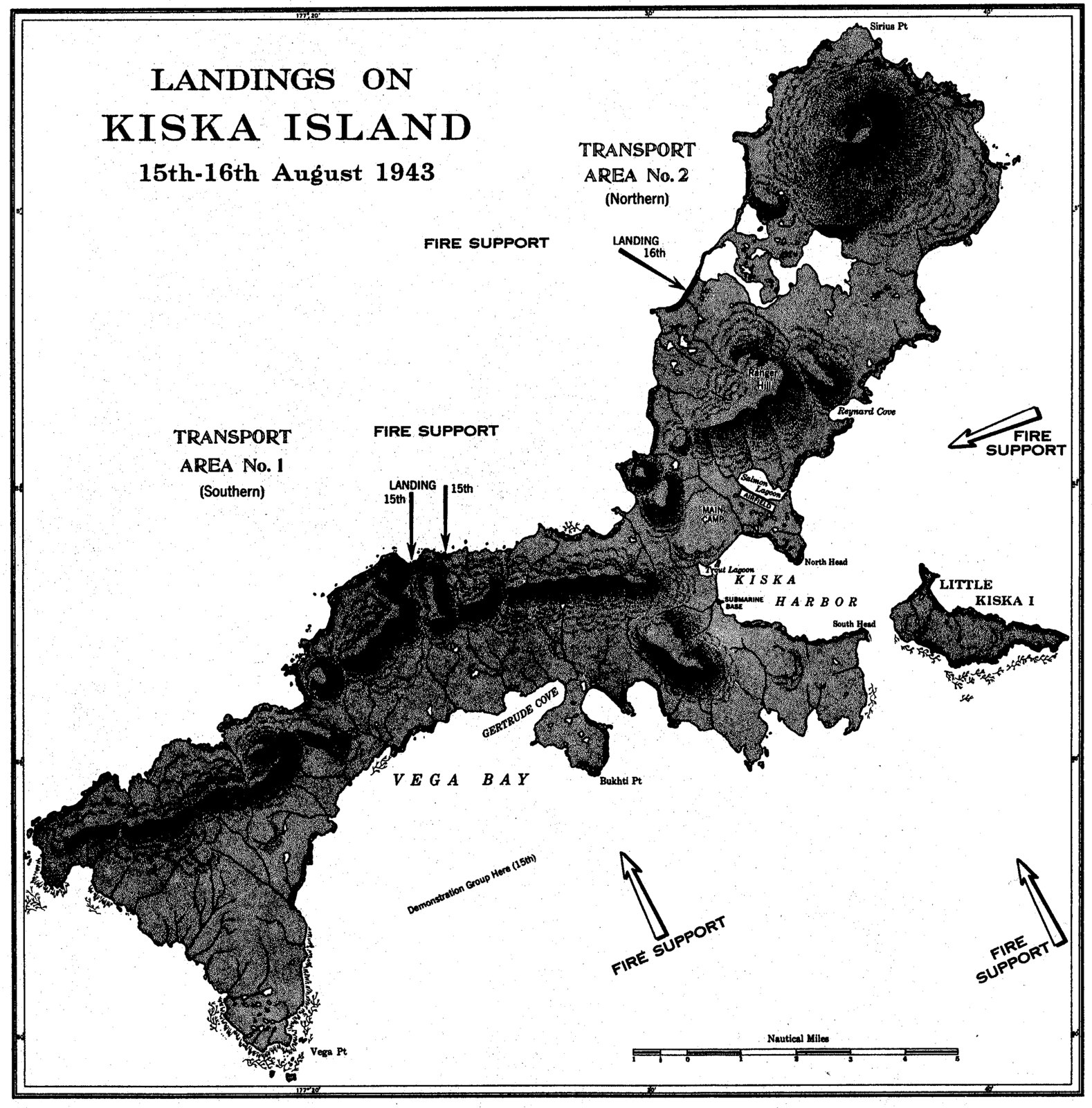
Landings on Kiska, 15 and 16 August 1943. Office of Naval Intelligence, The Aleutians Campaign, 1945. Public domain. North is up. The 15 August landings are marked on the west coast, and the 16 August landing on the north. Transport areas and fire-support arrows are marked. The sheet does not name the ships. A demonstration group is marked for the 15th. The garrison had left under fog on 28 July. This is the landing on an empty island.