1942-03-01
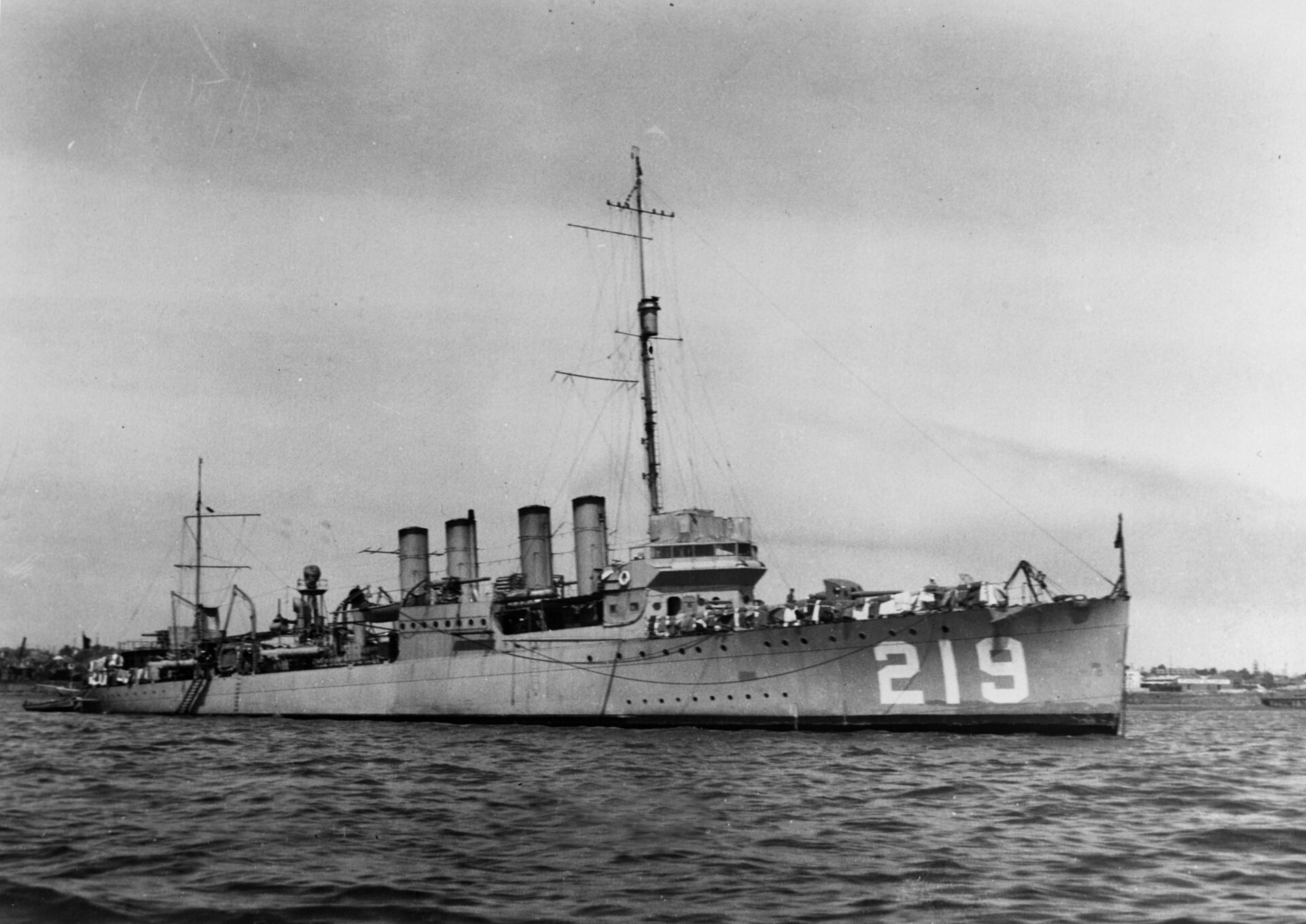
The loss of Edsall
About 200 miles south-southeast of Christmas Island
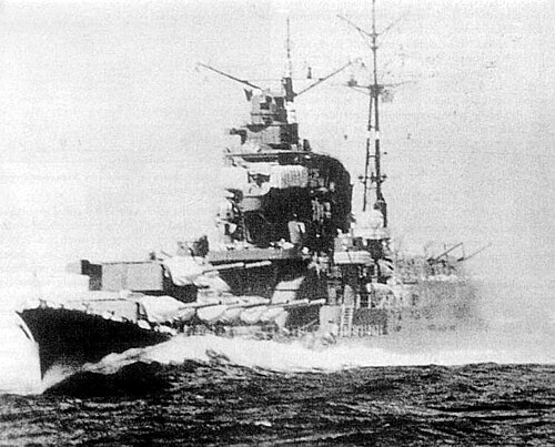
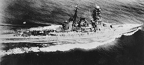
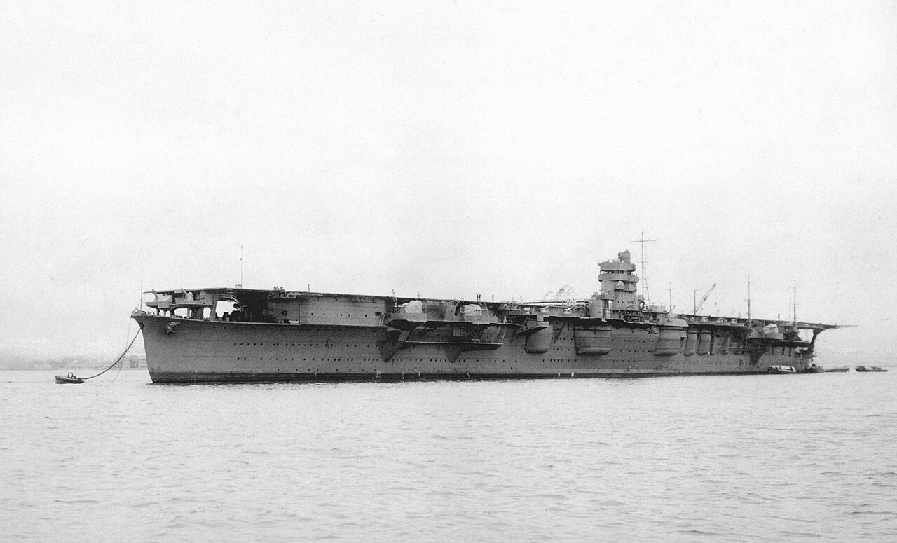
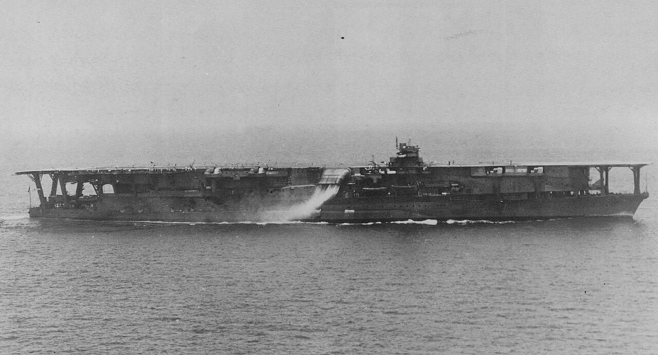
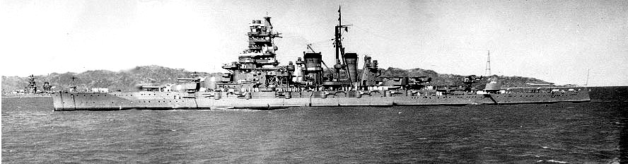
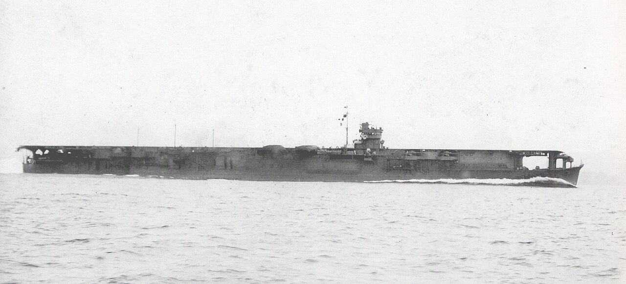
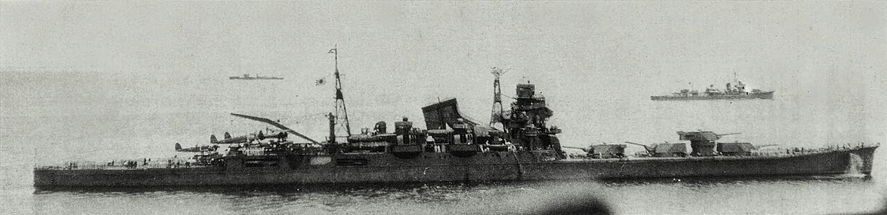
A lone four-piper, heading back toward Java after putting Langley's survivors aboard Pecos, met Nagumo's striking force. Battleships and heavy cruisers fired more than a thousand shells and barely hit her. Dive bombers finished it. She went down by the stern.
Sunk in this fight
One ship.
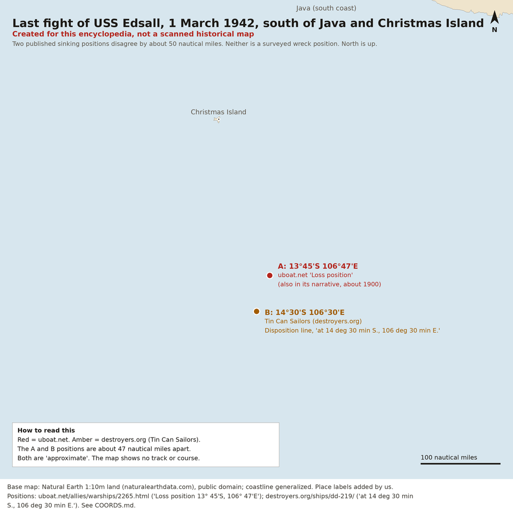
Created for this encyclopedia, not a scanned historical map. Base map: Natural Earth, public domain; the coast is generalized. North is up. Not a surveyed track. Two published positions for the sinking on 1 March 1942 disagree by about 47 miles, and both are shown. A, in red, is 13°45' S, 106°47' E, from uboat.net. B, in amber, is 14°30' S, 106°30' E, from the destroyers.org (Tin Can Sailors) record. Neither is a surveyed wreck position. No course is drawn.